
Landscape and visual amenity
A landscape and visual amenity assessment considers impacts and changes to the current scenery and settings that will be altered as construction and eventual operation of the project takes place.
The existing environment features a mix of urban land uses including residential, commercial, retail and industrial land uses as well as public parks and recreational areas. The northern section mainly comprises residential land uses while the southern section is dominated by commercial and retail land uses.
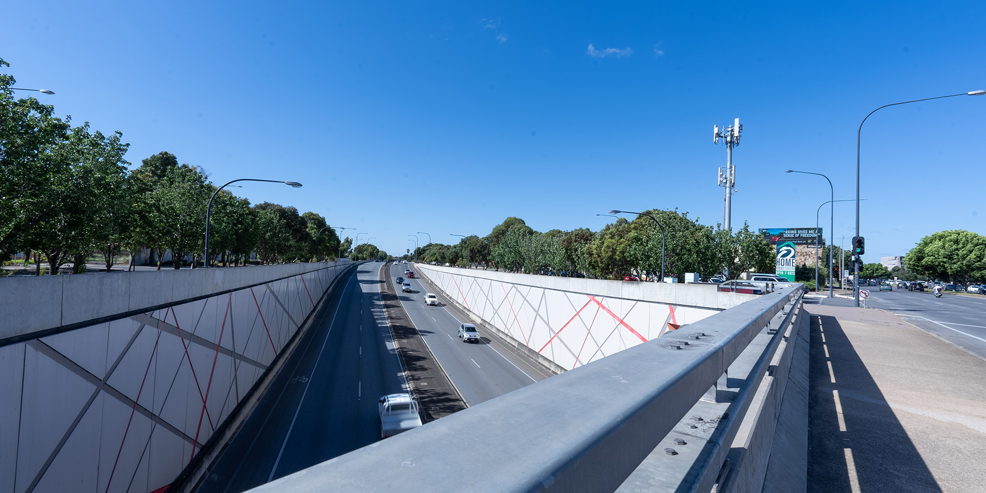
The use of tunnels for a significant length of the T2D Project will significantly minimise above-ground visual impacts and will mitigate large-scale potential adverse impacts to landscape character.
- Summary
Download a summary of the Landscape and visual amenity impact assessment in PDF format
Approach
The assessment of landscape and visual amenity evaluated the “fit” and appropriateness of project elements within surrounding land uses (based on the land use zones of the applicable planning scheme).
The assessments have been undertaken to gain a full understanding of potential impacts based on the Project Design and the Urban Design Strategy. These assessments primarily involved an evaluation of the project design against the existing landscape character types and areas within the project area.
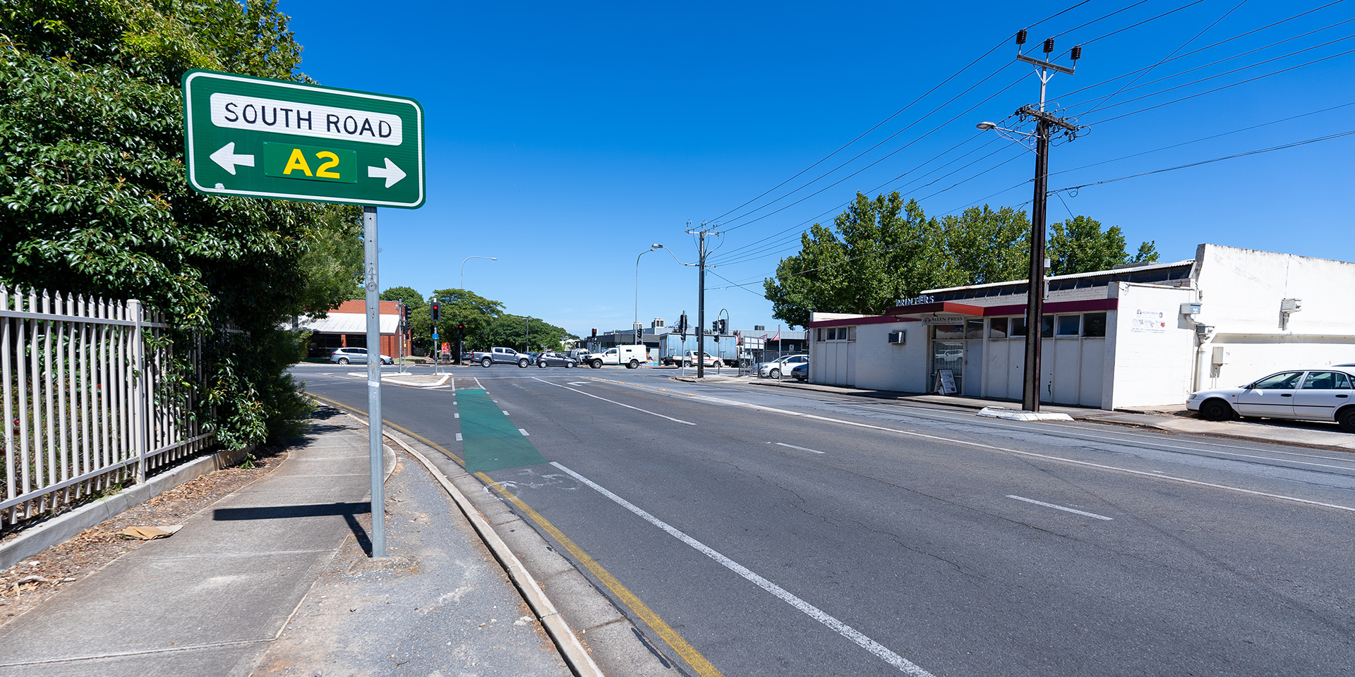
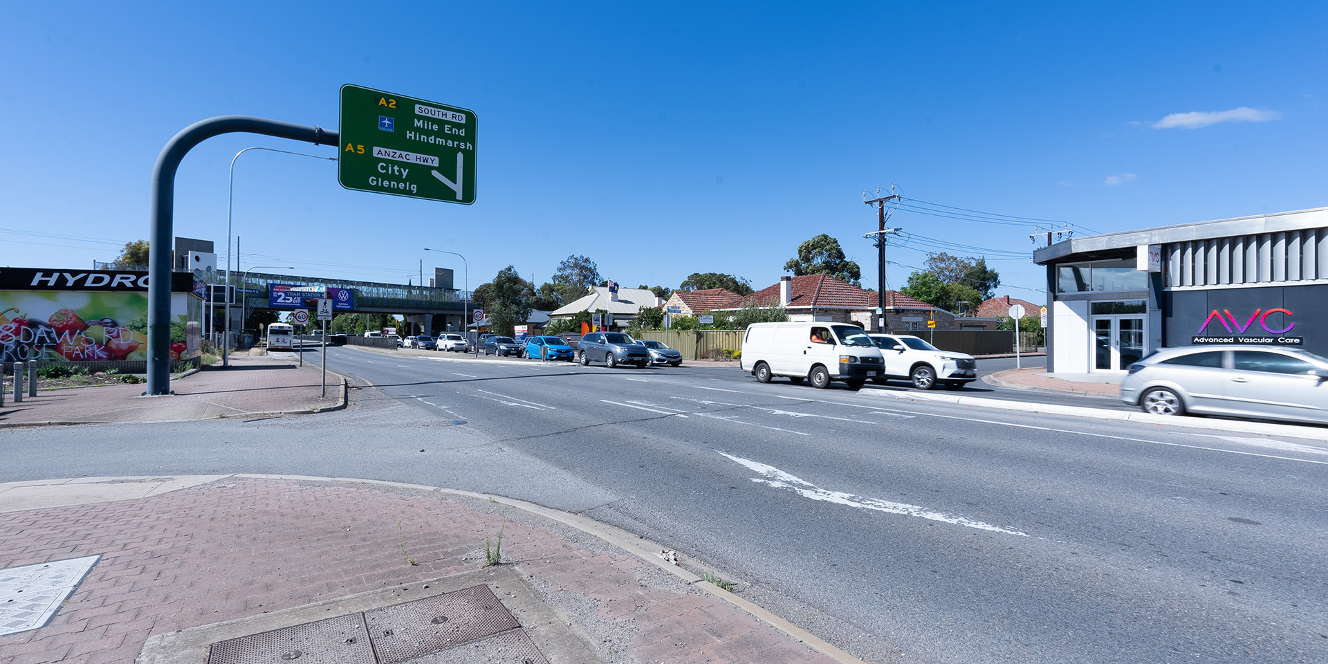
Representative viewpoints were selected for assessment across the length of the project alignment and particularly where the project is considered to have the greatest visual impact or where the key elements of the project are located. Potential viewpoints were also identified and then validated to account for potential screening and filtering effect on these views from topography, existing vegetation and built form.
Assessment area
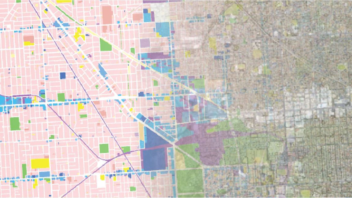
The following map shows the representative viewpoints selected for the landscape and visual amenity assessment. These viewpoints show a before and after photo of seven locations along the project corridor. To view these images, select the icon below:
Map: Alignment and viewpoints
Map disclaimer
Landscape and visual amenity features
The project is located within a highly urbanised area of metropolitan Adelaide and mainly within an existing road corridor that is highly modified and characterised by a mix of varying land uses and surrounding communities.
Urban landscape characteristics
From the north to the south, the T2D Project area travels through established residential neighbourhoods, valued character areas, retail and innovation precincts as well as longstanding commercial and industry clusters that are reflective of the area’s industrial history:
- north of Anzac Highway - land uses are predominantly residential, with commercial uses fronting South Road where local shops and services support local communities
- south of Anzac Highway - land uses are a mix of residential neighbourhoods, commercial tenancies and light industry, with industrial land uses becoming more prevalent further south towards Tonsley
- established residential neighbourhoods exist in West Hindmarsh, Torrensville, Mile End, Hilton, Everard Park, Kurralta Park, Black Forest, Forestville, Glandore, Clarence Gardens and Clovelly Park
- more than 1,000 businesses are located near the T2D Project, representing a range of industries. The most prominent business sectors are retail, manufacturing, construction, healthcare, social assistance and the arts
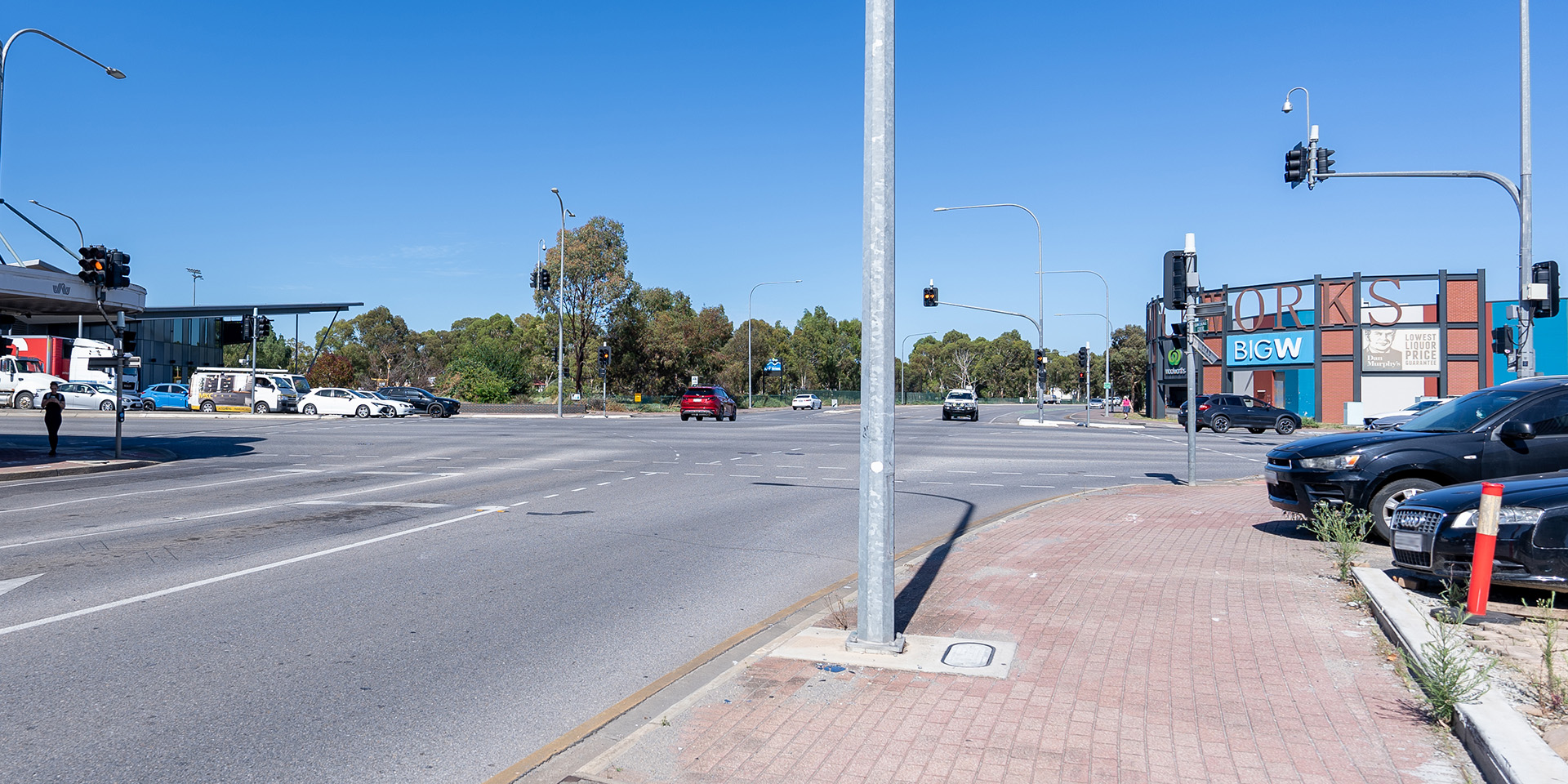
- the largest cluster of businesses is located within the Edwardstown/Melrose Park precinct which includes the Castle Plaza Shopping Centre, Bunnings Edwardstown and multiple large retail stores and commercial businesses
- there are multiple economic activity destinations within the T2D Project area including Tonsley, Flinders Health and Education Precinct, Edwardstown and Melrose Park, Mile End, Thebarton and Hindmarsh
- land uses fronting South Road include residential, historical landmarks, light industrial areas, recreational uses, community green space commercial/retail and suburban activity centres.
For more information visit Land use, planning and zoning.
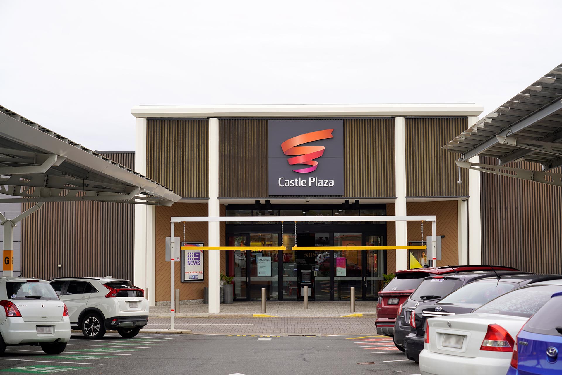
Photo: Castle Plaza Shopping Centre.
Landscape character
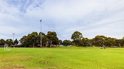
The landscape surrounding the project area is generally tightly bound by the built environment, with few natural landscape features remaining – these being the key waterway of River Torrens / Karrawirra Parri which traverses the landscape in an east-west orientation in the northern section of the project corridor, as well as Keswick Creek and Brownhill Creek / Willawilla.
There are few ecological features remaining within the project area and a general absence of mature trees located along South Road. Amenity vegetation within the project area comprises planted trees, shrubs and grasses located in median strips, private property, side streets and major arterial roads intersecting South Road.
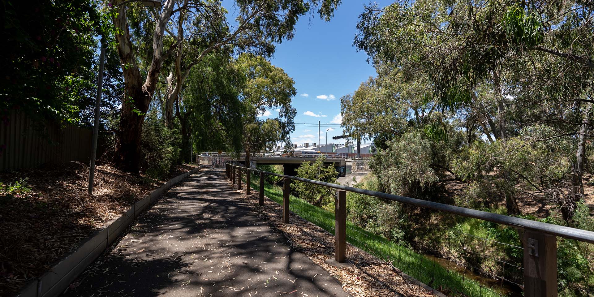
While the aquatic and riverbank interface habitat provided by the River Torrens / Karrawirra Parri has been largely modified, the section within the project area contains substantially intact overstorey vegetation and wetland-type vegetation in good condition. This area provides high amenity value for the public and habitat for native fauna. For more information visit Ecology.
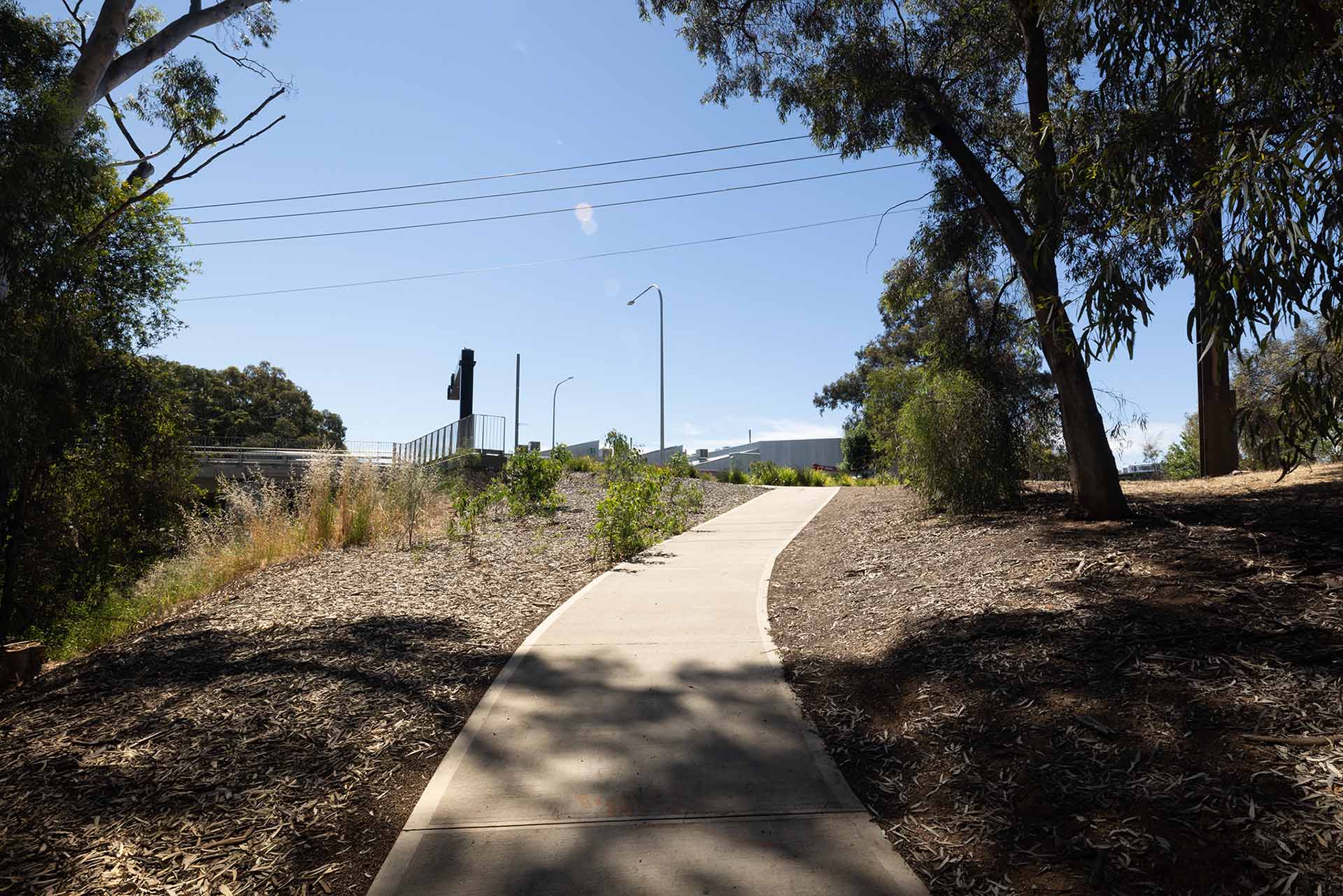
Photo: Remnant flora in the River Torrens / Karrawirra Parri corridor near Taylor's Bridge.
Impacts and mitigation measures
Impacts are generally considered lower when the project/project features are in keeping with the surrounding area.
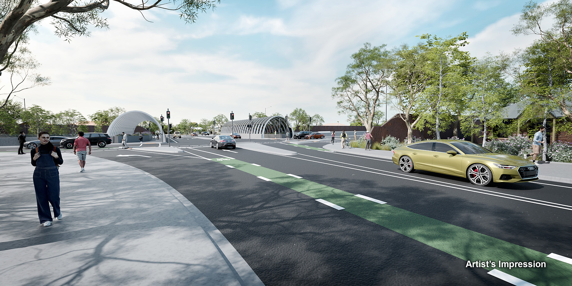
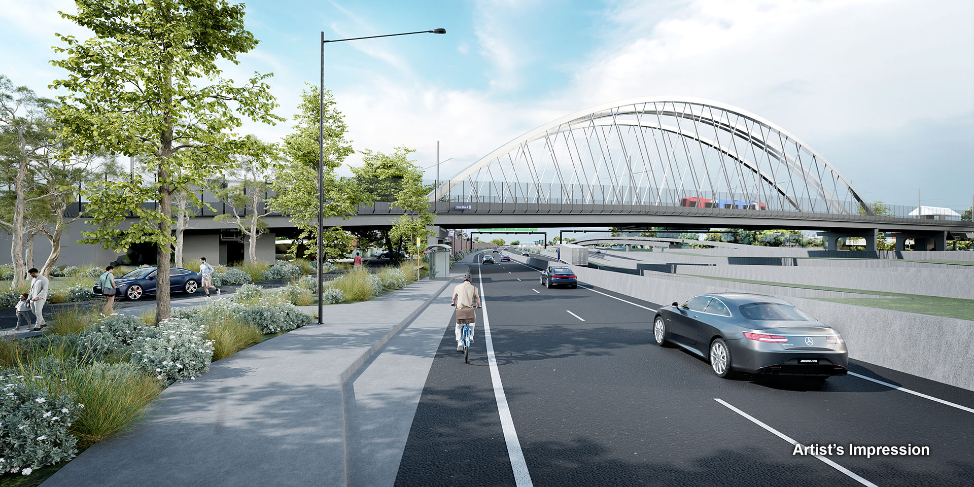
A model of the project has been developed to provide an indication of what the project will look like.
The PAR looked at key elements of the project design to understand the likely level of impact during construction and operation. Representative viewpoints from certain locations are shown in the landscape and visual amenity map.
Viewpoint location
- 1. River Torrens / Karrawirra Parri Linear Park VP5
- 2. Gateway Portal, BrickworksVP6
- 3. Everard and Barwell Avenue VP16
- 4. Anzac Highway Crossing VP18
- 5. Glenelg Tram OverpassVP19B
VP20B - 6. Celtic Avenue VP23VP25
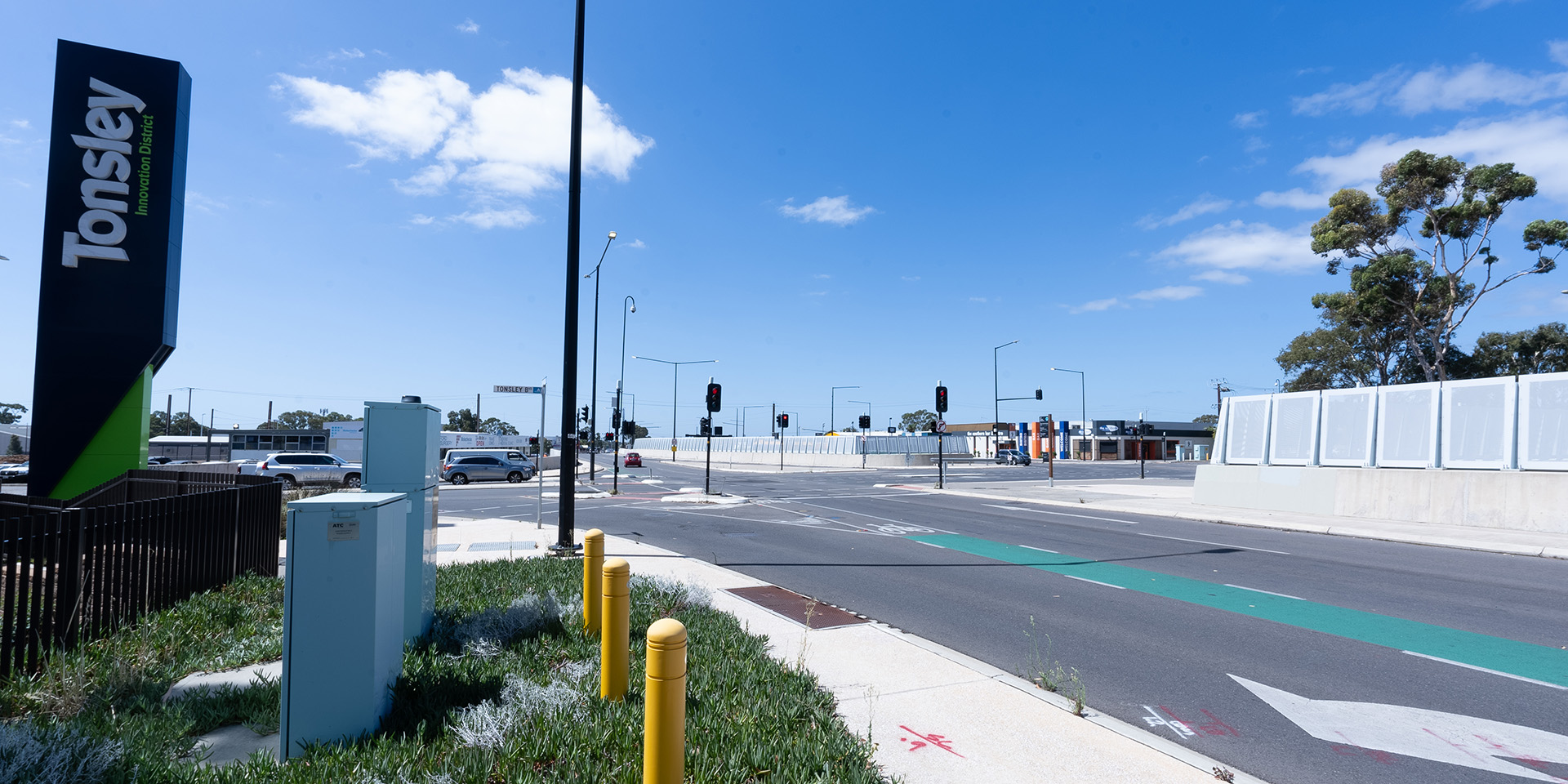
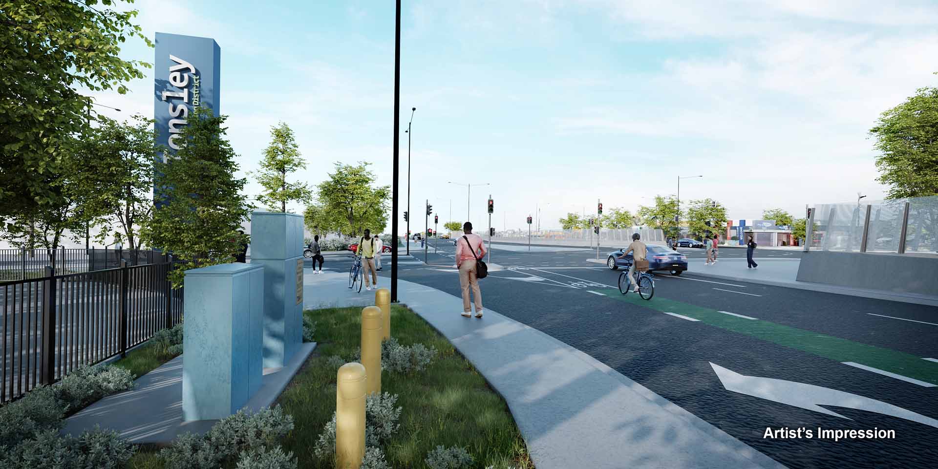
- 7. Tonsley Boulevard.VP26
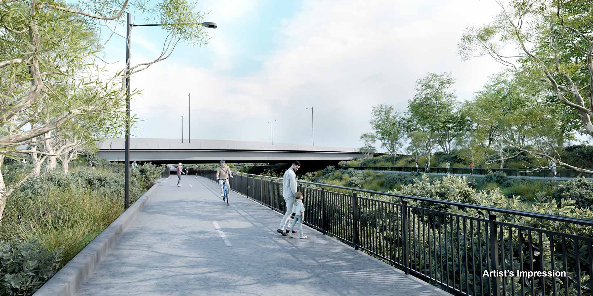
Artist's impression: Northern Tunnels, northern portal gateway element and Brickworks Marketplace.
Construction impacts
Construction impacts | Key mitigation measures |
|---|---|
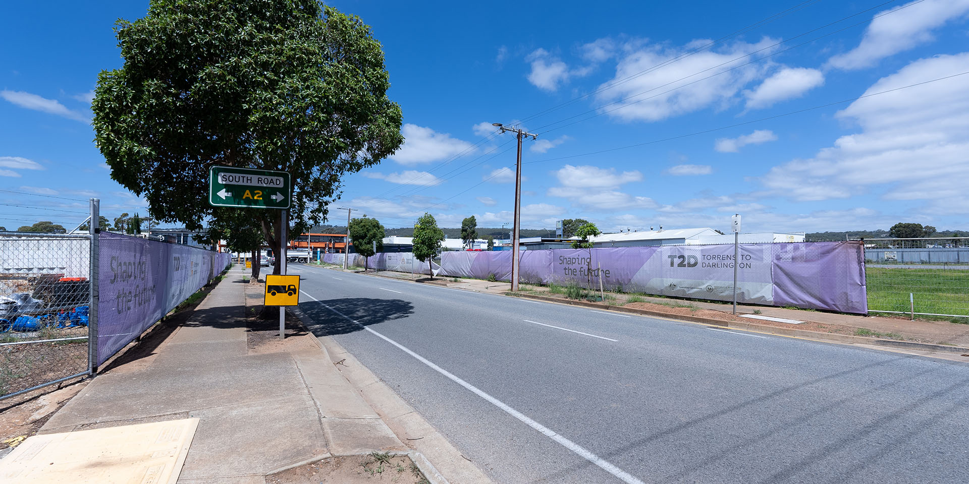
Demolition: this has and will involve the demolishment of commercial, industrial and residential buildings, removal of topsoil and existing vegetation specifically within open motorway, tunnel portal and laydown locations. Which is expected to result in temporary changes to scenic quality and visual character. | Demolished sites will be managed to reduce visual impact, this may include retaining vegetation where possible, hydroseeding, placing screen on fencing or installation of noise walls prior to main construction. Vegetation mitigation measures. For more information visit Ecology. Topsoil removal. For more information visit Geology and groundwater. Air quality mitigation measures refer to Air Quality. |
Temporary noise walls: will be installed in some locations resulting in a temporary change to scenic quality and visual character. | Consultation and ongoing communication with key stakeholders will be important in both site selection and design of the temporary noise wall. For more information visit About construction. |
General earthworks: this will involve removal of topsoil, existing vegetation and excavation of deeper soils, specifically within open motorway, tunnel portal and laydown locations. This associated heavy vehicles, are expected to result in a temporary change to scenic quality and visual character. | Vegetation mitigation measures. For more information visit Ecology. Topsoil removal. For more information visit Geology and groundwater. |
Tunnel construction: Large-scale acoustic sheds will be installed over the cut and cover sections of the tunnel from which the tunnel boring machine (TBM) will be launched. The sheds are expected to be of large bulk and scale resulting in temporary change to scenic quality and visual character. The acoustic sheds will also experience traffic from heavy vehicles that are expected to result in a temporary change to scenic quality and visual character. | The location and design of these sheds will be compassionate to the surrounding environment. Refer following section of Project design mitigation opportunities: Tunnel portals, temporary noise walls and landscaping; ventilation facilities and compounds, to inform acoustic shed and tunnel laydown area design. |
Operational impacts
Operational impacts | Key mitigation measures |
|---|---|
Project elements: Changes to scenic quality and visual character. | For more information on the project design mitigation measures visit Project design mitigation opportunities and for more information regarding previous design changes visit Design changes. |
Maintenance of new infrastructure: Routine maintenance works may have temporary low visual impact. | Access for maintenance crews to be considered from the outset so that road laneways or shoulders do not have to be closed for maintenance. Safe access to planted areas is to be integrated into the overall layout. Comply with the SA Government Water Sensitive Urban Design (WSUD) performance targets for water quality improvement that apply to road projects. |
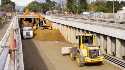
Photo: Noise wall installed as a part of the Regency to Pym (R2P) project.
Impacts and opportunities
Almost 60% of the 10.5km T2D Project is in underground tunnels which will significantly minimise permanent visual impacts. The project design has been an iterative process that has responded to feedback from community and stakeholder engagement and has identified key areas where visual and landscape impact is a priority. The Project Design seeks to minimise visual and landscape impacts as much as possible. For more information visit About the design.
The intention of the project design is not to screen all elements and recede the motorway as a secondary element within the urban landscape, but rather to integrate these elements, highlighting certain elements and screening others.
An Urban Design Strategy has been developed for the T2D Project to guide urban design, landscape, architectural and public realm infrastructure, features and finishes. The Urban Design Strategy sets principles, objectives and requirements to help the T2D Project to achieve good urban design outcomes, including high visual amenity that helps to mitigate landscape or visual impacts.
A summary of the key construction and operation mitigation measures is included below.
Project design mitigation opportunities
Impact | Design mitigation opportunity |
|---|---|
Above natural ground level |
|
At grade or below natural ground level/within a cutting |
|
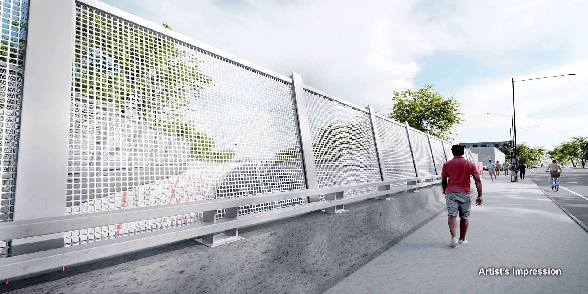
Noise walls, barriers, walls, screens and fences |
|
Tunnel portals |
|
Bridges and overpasses |
|
Ventilation facilities and compounds |
|
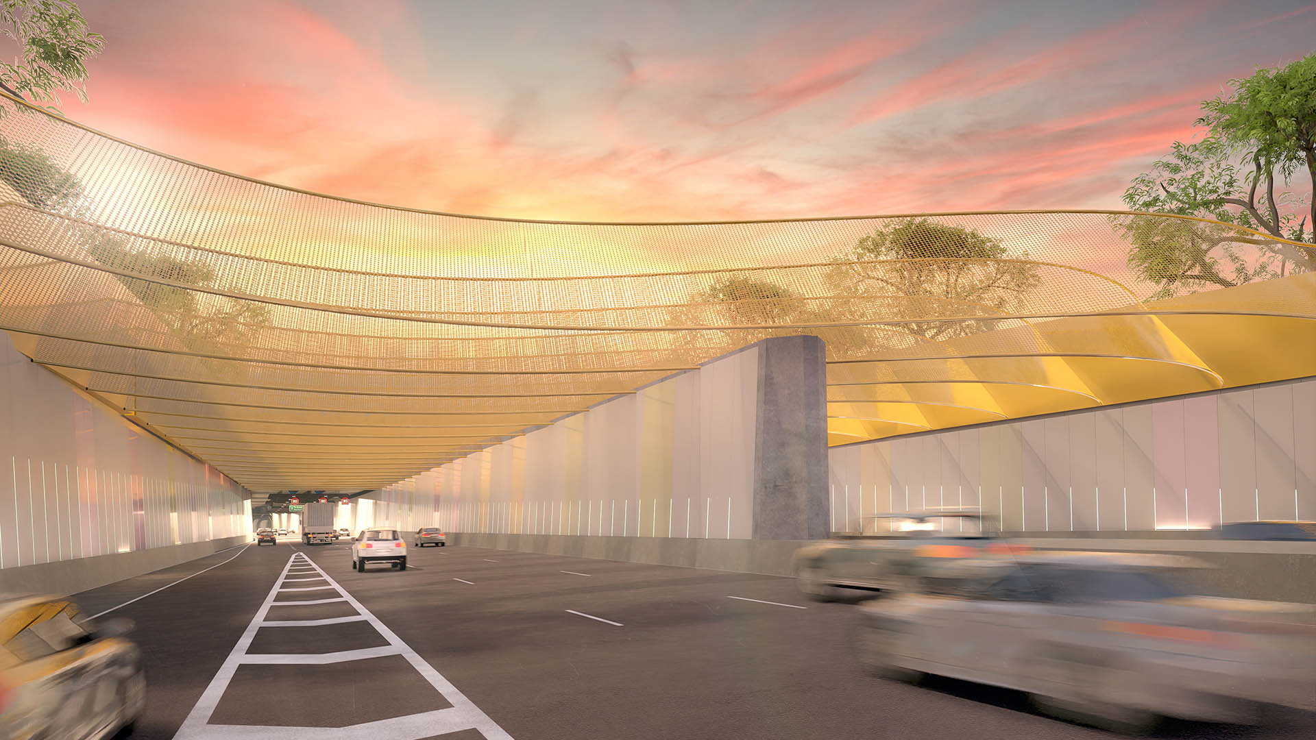
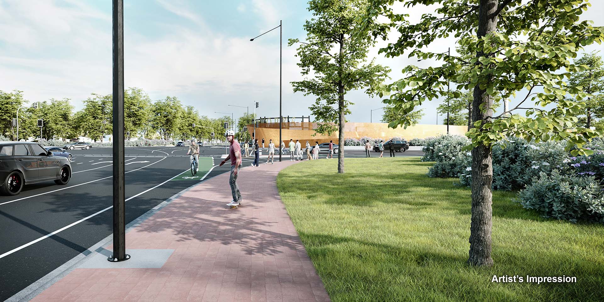
Artist's Impression: Southern Tunnels, southern portal.
Approvals
Approvals, permits and authorisations
Although there is no specific legislation required regarding landscape and visual amenity, the following table provides a summary list of the likely guiding policy documents that need to be adhered to:
Guiding policy document | Approval |
|---|---|
Office for Design and Architecture South Australia (ODASA) Principles of Good Design | No specific approvals required, however engagement with ODASA landscape and urban design specialists with experience in linear transport infrastructure and preparation of UDS for projects will occur through all phases of project planning, design and implementation. |
No specific approvals required. The UDS is a contractual document in which the project will need to demonstrate compliance with. | |
Master Specification (MS) parts: | No specific approvals required, however compliance with these MS parts is required. |
Next steps
The Project Assessment Report (PAR) community consultation period concluded in April 2024. We thank you for your feedback.
The valuable information and local insights received during the consultation phase of the PAR are being considered by the project team and will inform the ongoing refinement of the T2D Project.