Land use, planning and zoning
Land use planning is the process of assessing and regulating how land may be used to meet the needs of the area. This process is bound by policy and planning controls, such as zones, subzones and overlays, which aim to balance the orderly development of land with good social, environmental and economic outcomes by providing direction about where certain forms of development and types of land uses may be located.
These planning controls, together with development policies, provide rules and guidelines that apply to all parcels of land in the state and are set out by the Planning and Design Code under the Planning, Development and Infrastructure Act 2016.
- Summary
Download a summary of the Land Use, Planning and Zoning impact assessment in PDF format
Approach
The assessment of the land use, planning and zoning impacts of the T2D Project was based on a number of technical investigations that have been undertaken across several years as the design evolved.
The technical investigations that specifically relate to the land use, planning and zoning impacts of the project that were considered by the Department in this assessment include:
- review of planning approvals processes and requirements for the project
- review of current Planning & Design Code policies
- project Urban Design Strategy
- review of publicly available State and Local Government urban planning strategies and policies.
For more information see How the project relates to strategic planning.
Existing environment
Current land uses
The existing road corridor is highly modified and located within an urbanised area of metropolitan Adelaide. Land use along the corridor varies considerably with residential, business, commercial, light industry and open space/reserves which all interface with the project corridor at various points.
South Road also provides access to multiple significant destinations within metropolitan Adelaide, including the Adelaide CBD, Adelaide Airport, large retail shopping centres, sporting facilities, hospitals, schools and universities.
Key precincts and land uses along the T2D Project corridor include:
- the River Torrens / Karrawirra Parri
- social and community infrastructure such as education facilities, hospitals and medical facilities, and community centres
- retail and commercial hubs at Castle Plaza, Henley Beach Road main street and the Brickworks Marketplace
- strategic employment precincts at Edwardstown, Melrose Park, Mile End, Thebarton and Hindmarsh
- recreation and open space areas such as Glandore Oval, Richmond Oval (Hisense Stadium) and Thebarton Oval
- historic areas in Everard Park, Forestville, Richmond, Mile End, and Torrensville
- character areas in Ashford, Edwardstown, Glandore, Glengowrie, Plympton Park, Cowandilla, Mile End, Thebarton and Torrensville
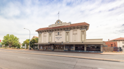
- State and Local Heritage-listed places such as the Hindmarsh Cemetery (State), Thebarton Theatre (State), Queen of Angels Church (Local) and Maid of Auckland Hotel (Local)
- economic activity destinations including Tonsley Innovation precinct and Flinders health and education precinct
- high density residential areas (along Anzac Highway)
- public transport connectivity at Emerson and Tonsley (train), South Road Overpass (tram) and high frequency bus corridors.
The following map shows land use zones in relation to the project corridor:
Map: Project map showing Land use.
Map disclaimer
An overview of the current key land uses fronting on to South Road within each section of the T2D Project corridor is provided below.
Current land use within Northern Tunnels section
The Northern Tunnels section generally comprises a mix of commercial and retail uses fronting South Road, with residential and other ancillary uses typically located further back from South Road and in the surrounding areas. The eastern side of South Road within the ‘Hindmarsh Triangle’ is characterised by a variety of land uses such as general industry, warehouses, and transport distribution with the Hindmarsh (Coopers) Stadium occupying a large portion of this area.
Key current land uses within the Northern Tunnels section include:
- River Torrens Linear Park
- Brickworks Marketplace
- Kings Reserve and Thebarton Community Centre precinct
- West Thebarton Hotel
- St George College
- Henley Beach Road mainstreet precinct
- State Heritage-listed places such as the Hindmarsh Cemetery, former World War II Civil Defence Sub-Control Station, Thebarton Theatre and the former Adelaide Electric Supply garages and offices
- Local Heritage-listed places such as the Former Town Hall and Queen of Angels Church, and various Representative Buildings.
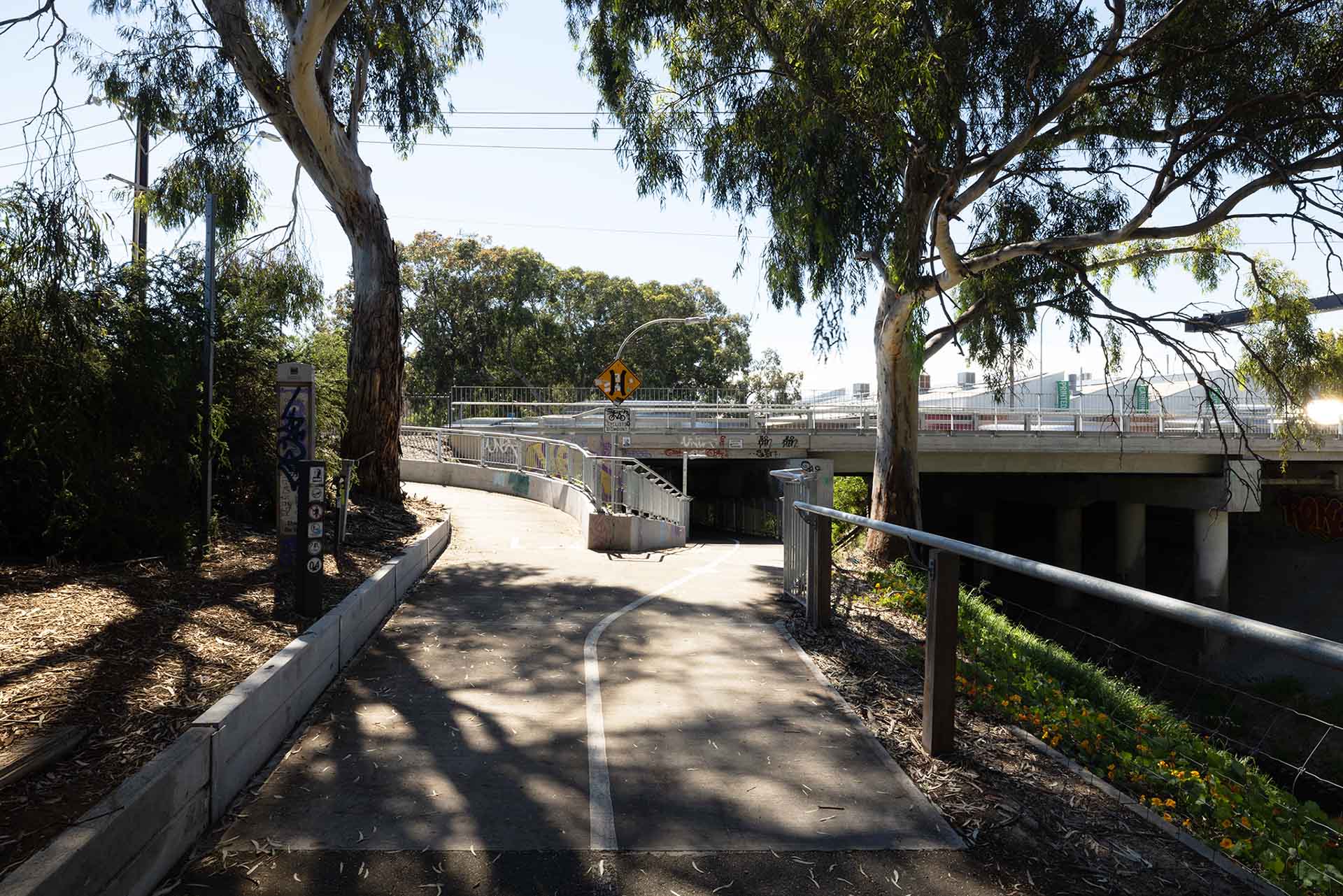
Photo: River Torrens Linear Park Trail.
Current land use within open motorway section
Both sides of South Road between Sir Donald Bradman Drive and Richmond Road are characterised by commercial and light industry land uses. Land use south of Richmond Road is a mix of low intensity commercial and office developments, generally with low density dwellings facing South Road closer to Anzac Highway.
Key land uses within the open motorway section include:
- Richmond Oval (Hisense Stadium)
- Mile End South home maker centre
- Richmond Primary School (between South Road and Surrey Road, Keswick)
- Tennyson Centre Day Hospital
- 24-hour emergency vet clinic.
There are no State or Local Heritage listed places in this section.
Photo: Richmond Oval (Hisense Stadium).
Current land use within Southern Tunnels section
Commercial development is predominately located on allotments facing South Road with low density residential development located further to the west parallel with South Road. Land use fronting on to South Road between Anzac Highway and the Glenelg Tram Overpass is mostly residential. Beyond the tram line to Glengarry Avenue land use is mainly commercial, particularly along the western edge of South Road.
Between Cross Road and Daws Road land use is characterised by commercial and light industry along South Road which is separated from residential areas to the west of the passenger rail line.
The area between Cross Road and Raglan Avenue (bordered by the Seaford Rail Line and South Road) is characterised by light industry and commercial land uses and the vacant expanse of the former Hills Industries site, Edwardstown.
From Celtic Avenue southward, land use continues to be a mix of commercial and retail uses including the Tonsley Innovation District.
Key land uses within the Southern Tunnels section include:
- Black Forest Primary School
- Black Forest Shopping Centre
- Glandore Oval
- Avoca Hotel
- Castle Plaza Shopping Centre
- Bunnings Edwardstown
- St Mary’s Fire Station
- Tonsley Innovation District
- State Heritage-listed places such as the former Ackland House and St Mary’s Anglican Church, cemetery and gates
- Local Heritage-listed places such as St Francis of Assisi Anglican Church, Maid of Auckland Hotel, and various Representative Buildings.
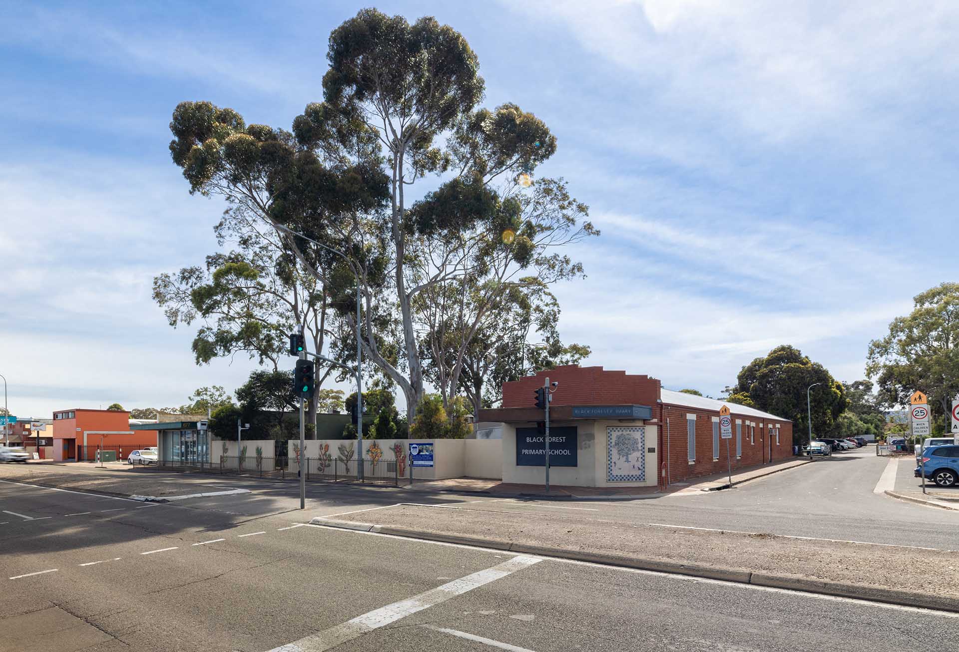
Photo: Black Forest Primary School.
Current zoning
The project area will interact with a number of different land use zones as identified within the Planning and Design Code. Generally, these zones will include; employment zones (encourage commercial and industrial development), and neighbourhood zones (low-to-medium density housing and small-scale complementary uses).
Various urban planning zones under the Planning and Design Code are applicable within area surrounding the project. The Northern Tunnels section is within several different zones with the Established Neighbourhood Zone being the most predominant.
Comparatively, a large portion of the open motorway section is within the Strategic Employment Zone. The Southern Tunnels section is predominately characterised by the Employment and Strategic Employment Zones.
An overview of the most prevalent zones within each section of the T2D Project corridor is provided below and further detail regarding applicable zoning, including the policies and intent of each zone, can be found in the Planning and Design Code.
An overview of the most prevalent planning and design code zones within each section of the T2D Project corridor is shown in the map below. Further detail regarding applicable zoning, including the policies and intent of each zone, can be found in the Planning and Design Code.
Map: Project Map showing Planning and Design Code Zones.
Map disclaimer
Current zoning in Northern Tunnels section
The Northern Tunnels section is characterised by several different zones with the Established Neighbourhood and General Neighbourhood Zones being the most predominant along South Road, encouraging the continuation of largely lower density residential development.
The Brickworks Marketplace precinct is within the Suburban Activity Centre Zone recognising the mix of uses and high trip attractors. The Thebarton Community Centre precinct covers a large area opposite and within the Recreation Zone.
Photo: Brickworks Marketplace precinct.
The industrial precinct east of South Road adjacent to the River Torrens / Karrawirra Parri is within the Strategic Employment Zone which encourages a range of industrial and warehouse uses with compatible employment-generating business activities.
Henley Beach Road is within the Urban Corridor (Main Street) Zone aimed at supporting further development of a walkable and vibrant shopping precinct supported by medium density residential development.
Photo: Henley Beach Road intersection.
Current zoning in the open motorway section
A large portion of the open motorway section is within the Established Neighbourhood Zone. Once crossing Sir Donald Bradman Drive, zoning fronting on to South Road is generally a combination of Employment and Strategic Employment Zones continuing to Richmond Road which reflects the mix of commercial and industrial uses in this area.
The next segment of South Road to Anzac Highway is almost entirely within the Housing Diversity Neighbourhood Zone, which encourages medium density housing interspersed with compatible employment and community uses.
The Urban Corridor (Boulevard) Zone follows Anzac Highway and enables the potential for higher density development of up to eight storeys that would benefit from close proximity to public transport and other services.
Photo: Richmond Road intersection looking north along South Road.
Current zoning in Southern Tunnels section
The Southern Tunnels section is mainly characterised by the Employment and Strategic Employment Zones directly on the project alignment to the Strategic Innovation Zone in the south for the Tonsley Innovation District.
The majority of land directly abutting the edges of the employment zones in this section features neighbourhood-type zones (Suburban, Established or General Neighbourhood Zones) which generally includes low-to-medium density residential development with supportive community and employment uses.
There is a large portion of the Southern Tunnels section between Woodlands Terrace and Daws Road that is within the Strategic Employment Zone, reflecting the existing mix of predominately commercial and industrial development within the area.
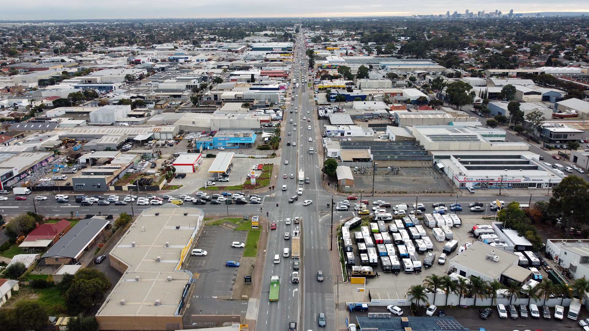
Photo: Daws Road intersection looking north along South Road.
Impacts and mitigation measures
Construction impacts
Changes to the potential land use, planning and zoning caused by project construction have been assessed by applying the project’s assessment methodology.
The objective of the land use, planning and zoning impact assessment is to document the process for assessing the key social and environmental risks from the project and identify management and mitigation measures to moderate or offset these risks.
This assessment found that the key land use planning potential impacts during construction include:
- establishment of temporary laydown areas for tunnel boring machine (TBM) storage/construction activities resulting in temporary change of land use
- acquisition and/or demolition of State and Local Heritage Places
- establishment of construction infrastructure and temporary laydown areas for TBM storage/construction resulting in visual amenity impacts
- site preparation and earthworks resulting in noise, vibration or air quality impacts affecting the use of land.
- traffic and accessibility impacts, including increased heavy vehicle movements during construction works, impacting existing land/site occupants
- land clearing impacting Regulated, Significant and large amenity trees
- impacts to walking and cycling network impacting active transport opportunities and access to bus and tram stops during construction
- potential for crime and antisocial activity due to impacts to natural surveillance opportunities.
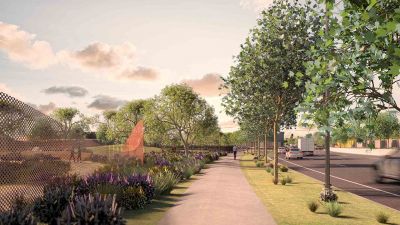
Mitigation of these potential impacts will be considered through the final design phase and guided by the project’s Urban Design Strategy to achieve good visual, landscape and functional outcomes for the project.
A range of complementary initiatives to support greater housing diversity, improved open spaces and renewed retail and commercial hubs resulting from shifting of heavy traffic to underground tunnels are also being planned.
The following table provides a summary of the potential land use, planning and zoning impacts and mitigation measures of the project during the construction phase.
Potential construction impacts | Key mitigation measures |
|---|---|
| Establishment of temporary laydown areas for TBM storage/construction resulting in temporary change of land use. | Construction work will require temporary occupation of private and public properties resulting in a temporary change of land use. Identification of final design should consider existing and surrounding land uses to minimise potential impacts to the ongoing use of land. Consultation and ongoing communication with key stakeholders will be important for the ongoing management of issues. See Laydown area for more information. |
| Acquisition and/or demolition of State and Local Heritage Places. | The project design has sought to minimise land acquisition impacts including to State and Local Heritage-listed places by reducing the project footprint at the surface by incorporating tunnels. This has also resulted in underground land and airspace acquisition requirements. For more information refer to Protection measures overview. Potential physical impacts to heritage places will be mitigated through the preparation of a Heritage Conservation Management Plan for each heritage listed item/place identified as being potentially affected by the project. The plan(s) will be prepared by a suitably qualified heritage architect/specialist and will form part of the Construction Environmental Management Plan (CEMP). See Non-Aboriginal heritage - Impacts and mitigation measures for more information. |
| Establishment of construction infrastructure and temporary laydown areas for TBM storage/construction resulting in visual amenity impacts. | Identification of construction laydown areas will consider existing and surrounding land uses to minimise potential impacts to the ongoing use of land. The visual impacts can be significantly mitigated through appropriate screening and management practices as outlined in the CEMP. Consultation and ongoing communication with key stakeholders will be important in both site selection and ongoing management of issues. For more information visit About construction. |
| Site preparation and earthworks resulting in noise, vibration or air quality impacts affecting the use of land. | Monitoring and mitigation strategies will be outlined in the CEMP and will include measures such as limits to hours of operation, physical mitigation of plant, equipment and operations and regular communication with the local community surrounding the site. Construction noise impacts will also decrease as the distance from the construction works is increased. See Noise and vibration and Air quality - Impacts and mitigation measures for more information. |
| Traffic and accessibility impacts, including increased heavy vehicle movements during construction works, impacting existing land/site occupants. | Construction works will generate higher numbers of vehicle traffic and particularly heavy vehicle movements. It will also necessitate some road closures of local streets and detours which will impact local accessibility. Road traffic will be appropriately managed and monitored by the contractor through implementation of detailed Traffic Management Plans. See Traffic and transport - Impacts and mitigation measures for more information. |
| Land clearing impacting Regulated, Significant, and large amenity trees. | While the project is exempt from approval under the Planning, Development and Infrastructure Act 2016, the Act requires that replacement trees must be planted for Regulated and Significant Tree removals (2:1 for Regulated Trees, 3:1 for Significant Trees). It is recommended that this replacement rate be adopted at a minimum. The department has also committed to at least a 20% increase in tree canopy cover as a result of the project. Additionally, the Project Design will retain approximately 100 amenity trees on Anzac Highway and create new areas of community green space with opportunities for increased planting of trees. See Ecology - Impacts and mitigation measures for more information. |
| Impacts to walking and cycling network impacting active transport opportunities and access to bus and tram stops during construction. | Construction works will impact pedestrian and cycling connections and may impact shared-use paths for periods and will likely impact access to bus and tram stops within the project corridor. Pedestrian and cyclist detour routes and alternative bus stops and tram services will be identified in the Traffic and Transport Management Plans. It will be important to effectively communicate this information to the surrounding community and public transport users to minimise impacts. See Traffic and transport - Impacts and mitigation measures for more information. |
| Potential for crime and antisocial activity within construction zones due to lack of natural surveillance to the street during construction. | The Project Design has sought to create spaces in ways that discourage criminal activity, provide natural surveillance opportunities and increase community perceptions of their safety both during construction and operation. This will be achieved through improved lighting within public areas, pedestrian and cyclist accessibility along the corridor and public realm improvements. See Landscape and visual amenity - Impacts and mitigation measures for more information. Access to construction sites will be limited through construction zone fencing and screening and managed through the CEMP which will also set out provisions for lighting and security of the construction zones. |
Operational Impacts
Despite avoiding and minimising many potentially adverse effects through the design process, the scale and complexity of the T2D Project means there will be unavoidable operational changes to some land uses including access to/from areas surrounding the project corridor.
Many forms of development surrounding the project corridor will continue to remain possible in future.
This assessment found that the key land use planning potential impacts during operation include:
- land acquisition, resulting in a change of land use
- underground land acquisition or airspace acquisition impacting future use of land
- impacts to the character or value of State and Local heritage places due to project infrastructure and realignment of road corridor
- changes to access and new project infrastructure resulting in severance and accessibility changes to existing land uses
- operational noise, lighting and air quality impacts on the ongoing use of land, particularly at tunnel portals;
- visual impact of project infrastructure impacting the future use of land
- crime and antisocial activity within project infrastructure due to lack of natural surveillance opportunities during operation if not suitably managed
- Tunnel Protection Overlay Code Amendment policy impacting future development.
For further information regarding minimising impacts see How impacts will be minimised or avoided.
The following table provides a summary of the potential land use, planning and zoning impacts and mitigation measures of the project during the operation phase.
Potential operational impacts | Key mitigation measures |
|---|---|
Land acquisition, resulting in change of land use. | The Project Design will require the acquisition of 524 properties, see property acquisition for more information. While these acquisitions will result in a change in land use and character of the locality, any residual land created through the project will be redeveloped or re-purposed at the end of the project. Other public uses and potential relocation of businesses which will assist in offsetting this impact. |
Underground land acquisition or airspace acquisition impacting future use of land. | The Project Design has sought to minimise property acquisition wherever possible, however will still require some underground land acquisition to accommodate the tunnels. Airspace acquisition will be necessary to accommodate overhead structures (currently airspace acquisition only covers part of the Hindmarsh Cemetery site). Various forms of development will continue to be acceptable along the corridor despite the land being altered via underground land or airspace acquisition. While these acquisitions are likely to have minimal impact on the future use of land, there may be changes to the development assessment pathway and a possible additional requirement of a referral to the Commissioner of Highways, particularly for significant development in close proximity to the tunnels. |
Impacts to the character or value of State and Local heritage places due to project infrastructure and realignment of road corridor. | The Project Design has sought to minimise detrimental impacts (specifically demolition) to key heritage places of value to the community, primarily through the alignment of the corridor and the incorporation of tunnels for over half the corridor length. To manage potential impacts to the character or value of heritage places, consultation with Heritage SA will ensure that the final Project Design is sympathetic to heritage values and to maintain the existing land use and amenity of places. Additionally, the final Detailed Design will be informed by the project’s Urban Design Strategy which will further assist in mitigating potential impacts to heritage places. See Non-Aboriginal heritage - Impacts and mitigation measures for more information. |
Changes to access and new project infrastructure resulting in severance and accessibility issues to existing land uses. | To minimise potential severance and accessibility impacts the new corridor has been positioned to the west of the existing South Road alignment and east-west connectivity at key connector roads has been maintained across the corridor. The additional green space proposed through the Project Design will also create new opportunities for social interaction and focal places for local communities, for more information visit More than a motorway. The project has identified opportunities by working with council to improve walking and cycling links and networks along the corridor. A shared-use path will be provided along the surface road in the open motorway and Southern Tunnels sections of the project, with a new shared-use bridge crossing over the corridor at Pleasant Avenue adjoining Black Forest Primary School, and an additional proposed new share-use path/bridge crossing over the corridor at Walsh Avenue, serving St Bernadette's Primary School. |
Operational noise, lighting and air quality impacting on the ongoing use of land, particularly at tunnel portals. | Road surface noise impacts within most areas close to the project corridor are expected to decrease due to reduced overall traffic numbers, diversion of most heavy vehicle traffic to the tunnels and open motorway sections. The use of low-noise generating pavement, noise walls and other treatments will further assist in reducing impacts to the surrounding communities. See Noise and vibration - Impacts and mitigation measures for more information. New lighting will be designed and operated in accordance with relevant standards which includes minimising the impacts of illumination on surrounding site occupants. The ventilation facilities will be designed so that the in-tunnel jet fans and ventilation outlets will be automatically triggered and used to ensure that in-tunnel air quality and external ambient air quality requirements will continue to be met. The ventilation system will be automatically controlled in real-time. See Air Quality - Impacts and mitigation measures for more information. Additionally, air quality at some locations may improve with the reduction of heavy vehicle and stop-start traffic on surface roads. The operational noise, lighting and air quality as a result of the project is not anticipated to negatively impact the current or future use of land within or adjacent to the project corridor. |
Visual impact of project infrastructure impacting the future use of land. | The Project Design seeks good urban design outcomes and references the project Urban Design Strategy to mitigate potential visual impacts of the project. The project will likely result in visual enhancements for many sections of the project corridor through urban realm improvements, new green space and well-designed road infrastructure. See Landscape and visual amenity - Impacts and mitigation measures for more information. |
Potential for crime and antisocial activity within project infrastructure due to lack of natural surveillance opportunities during operation. | The project design has sought to create spaces in ways that discourage criminal activity, provide natural surveillance opportunities and increase community perceptions of their safety both during construction and operation. This will be achieved through improved lighting within public areas, pedestrian and cyclist accessibility along the corridor and public realm improvements. See Landscape and visual amenity - Impacts and mitigation measures for more information. |
Tunnel Protection Overlay Code Amendment policy impacting future development. | The Tunnel Protection Overlay Code Amendment will introduce new planning policy that informs the suitability of development and spatially relates to the alignment of the tunnels. The Code Amendment will initially be implemented on an interim basis to prevent inappropriate development during construction works while the Code Amendment is considered by the Minister for Planning. Protection of the future tunnels from changes in loadings beyond their engineering design limits or intrusion into the Tunnel Exclusion Area (TEA) is essential prior to and during their construction. Assessment of new development on sites within the Tunnel Protection Overlay will be undertaken on an individual basis, which could enable mitigation of impact through design and placement. The introduction of the Tunnel Protection Overlay may result in changes to the development assessment pathway and include an additional requirement of a referral to the Commissioner of Highways where proposed developments exceed specified thresholds for loadings and/or excavation. |
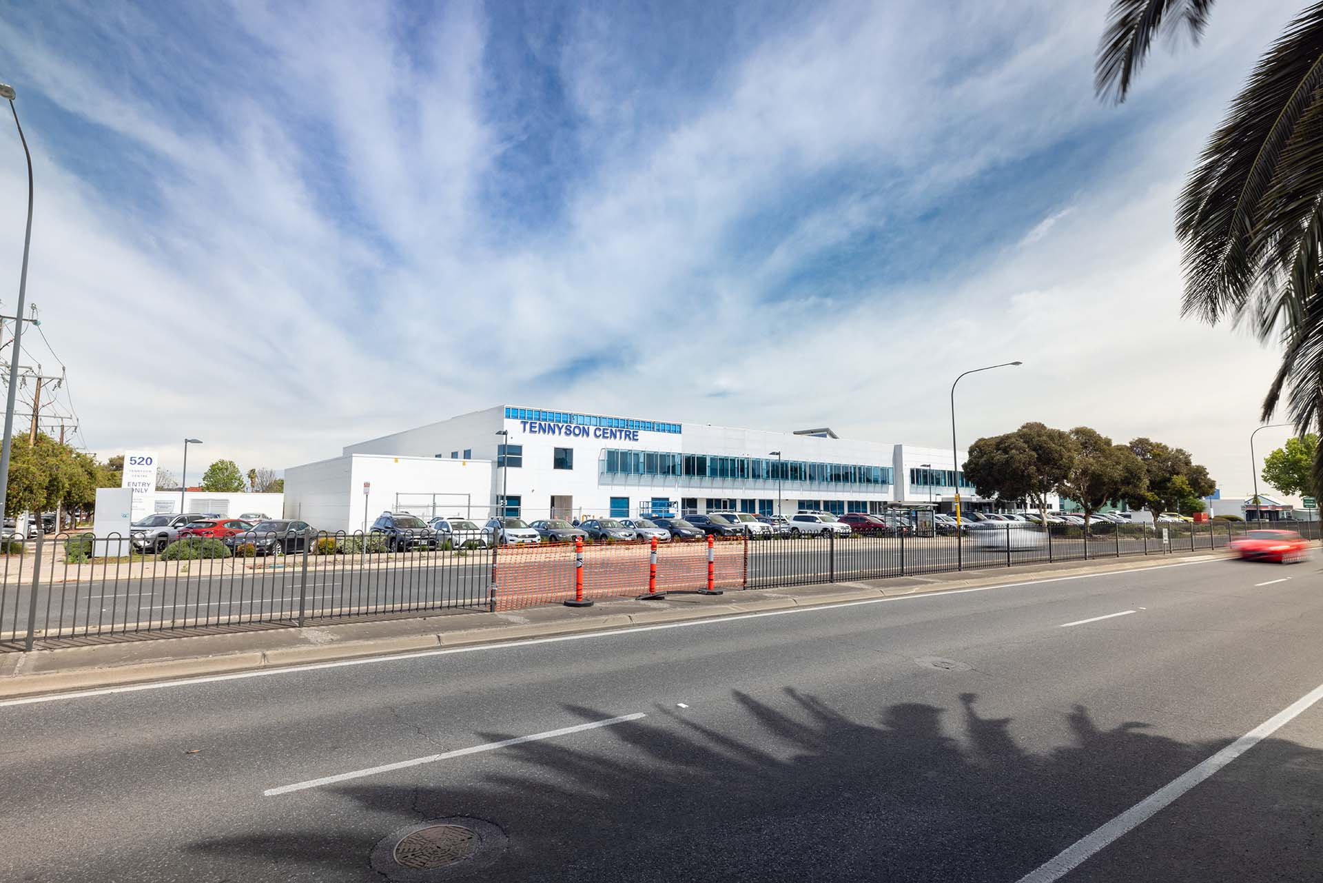
Photo: Tennyson Centre Day Hospital.
How impacts will be minimised or avoided
The planning and design stage for the T2D Project has avoided major land use impacts for large portions of the project area. The incorporation of two tunnels in the Project Design, comprising approximately 60% of the length of the T2D corridor, will minimise impacts to many heritage place and particularly places of importance to the community.
Important commercial areas will be preserved including the Castle Plaza Shopping Centre and Brickworks Marketplace, as well as the strategic employment areas of Edwardstown, Melrose Park, Mile End and Thebarton. The corridor alignment also protects Black Forest and Richmond Primary Schools and retains open space at Thebarton and Glandore Ovals.
To ensure the physical protection of the tunnels from developments which many impact the tunnels, a new Tunnel Protection Overlay is planned to be introduced through a Planning and Design Code Amendment in late 2023.
The Overlay policy relates to the alignment of the tunnels and will guide appropriate development in this area as well as trigger a technical referral to the Department on specific proposals through the Planning Consent assessment process. Additionally, protection of the future tunnels from changes in loadings beyond their engineering design limits or intrusion to the Tunnel Exclusion Area (TEA) is essential prior to and during their construction.
The Overlay ensures policy consistency across multiple zones and subzones and through future Code Amendments over time. Importantly, most forms of development on land surrounding the project corridor will continue to be possible in future.
Read more about the Tunnel Protection Overlay Code Amendment.
Opportunities to further mitigate potential impacts will be considered in the final design phase and guided by the project’s Urban Design Strategy to achieve good visual, landscape and functional outcomes for the project.
A range of complementary initiatives to support greater housing diversity, improved open spaces and renewed retail and commercial hubs are also being considered through the project. Planning and delivery of the project will involve consultation with the community and key stakeholders to ensure that these initiatives integrate with existing land use and strategic planning for the area.
A summary of potential design opportunities to mitigate the land use planning impacts of the project is included below.
| Impact | Design opportunity |
|---|---|
| Construction | |
Establishment of temporary laydown areas for TBM storage/construction resulting in temporary change of land use. | Identification of final site selection and design of laydown areas should consider locations where temporary occupation would cause limited impacts to existing and surrounding land uses, such as vacant sites or partial occupation of larger sites to minimise potential impacts to the ongoing use of land. Zoning adjacent to the corridor should be reviewed prior to the redevelopment or re-purposing of residual land or the establishment of green corridors. |
Demolition of State and Local Heritage Places. | The Detailed Design of the project should consider options to avoid impact on heritage sites. Where impacts cannot be avoided, the design must consider options to minimise and mitigate impact on heritage. |
Establishment of construction infrastructure and temporary laydown areas for TBM storage/construction resulting in visual amenity impacts. | The visual impacts of construction infrastructure and temporary laydown areas will be minimised through appropriate screening and management practices as outlined within the project CEMP. |
Site preparation and earthworks resulting in noise and vibration impacts which affect the use of land. | The impacts of construction should be minimised through physical mitigation of plant and equipment. Regular communication about project activities will occur with owners and occupiers of surrounding sites. |
Land clearing impacting Regulated, Significant and large amenity trees. | The footprint of the new road corridor will be minimised through detailed design (where possible) to reduce the potential for Regulated, Significant and large amenity tree impacts. The current Project Design has been developed in this manner to this point. |
Impacts to walking and cycling network impacting active transport opportunities and access to bus and tram stops during construction. | Temporary footpaths will be located to maximise user accessibility and connect with the existing footpath network wherever possible and will be designed to ensure safe access for people of all abilities. |
Potential for crime and antisocial activity within construction zones due to lack of natural surveillance to the street during construction. | The final layout of construction zones will seek to maximise opportunities for pedestrian activity and natural surveillance. |
| Operation | |
Land acquisition, resulting in change of land use. | The design footprint should be reduced through the detailed design (where possible) to minimise land acquisition, and in particular, to minimise acquisition of residential and community land. |
Impacts to the character or value of State and Local heritage places. | The Detailed Design of the project should consider options to avoid impact on heritage sites. Where impacts cannot be avoided, the design should consider options to minimise and mitigate impacts on heritage places and items. |
Operational noise impacts on the ongoing use of land, particularly at tunnel portals. | The Detailed Design of the project should consider the location and appearance of noise treatments, such as noise walls to maximise effectiveness and minimise visual impacts in reference to the project Urban Design Strategy. |
Operational lighting impacts on the ongoing use of land. | The Detailed Design of the project should consider the location and appearance of lighting to minimise light spill impacts in reference to the project Urban Design Strategy. |
Visual impact of project infrastructure impacting the future use of land. | The Detailed Design of the project should consider incorporating high-quality public realm elements, visually appealing noise walls, and landscaping to assist in screening project infrastructure and enhance visual amenity within the project corridor in reference to the project Urban Design Strategy. |
Impacted pedestrian accessibility and connectivity due to project infrastructure. | The Detailed Design of the project should consider incorporating active transport connectivity and infrastructure to assist with active transport opportunities within the project corridor in reference to the project Urban Design Strategy. |
Potential for crime and antisocial activity within project infrastructure due to lack of natural surveillance opportunities during operation. | The Detailed Design of the project should consider the design of the public realm elements to improve safety and natural surveillance within the project corridor in reference to the project Urban Design Strategy. |
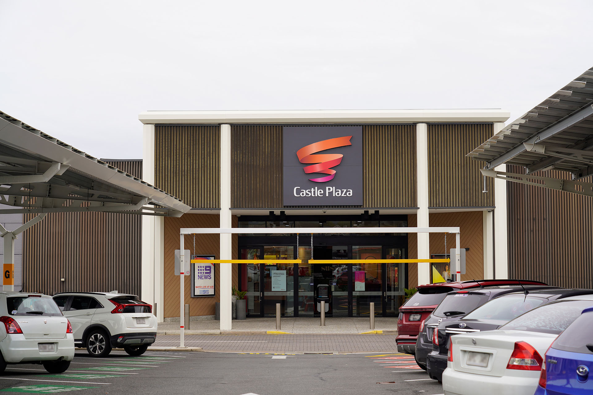
Photo: Castle Plaza entrance, Edwardstown.
Approvals
Planning approvals
The Department undertook a review of the legislative framework and approvals pathways for the project which considered:
- previous projects along the project corridor
- the current legislative framework and how it will operate for a project of this scale
- review of interstate approval pathways for similar projects to determine any transferrable opportunities to improve the approval processes in South Australia
- options available to minimise project risk and streamline or consolidate the various approval processes.
As there are minimal T2D Project elements that constitute ‘development’ and thus require approval under the relevant planning legislation, it was determined that the Crown Development Approval pathway is the preferred option.
This is the same approach that was undertaken for previous sections of the NSC Project which also involved few project elements that required Development Approval.
Crown Development is undertaken pursuant to Section 131 of the Planning, Development and Infrastructure Act 2016 and is applicable to a State agency that proposes to undertake development for the provision of public infrastructure.
Key Legislation
To inform the project, an assessment of all State and Local Government land acquisition, development and planning approvals was prepared to enable the delivery of the project.
The following tables provide a summary list of the likely land use and related planning approvals and authorisations required to progress the project to delivery.
Legislation | Approval |
|---|---|
Required | |
The Heritage Places Act 1993 aims to recognise the importance of and protect South Australia’s heritage places and related objects. While the majority of T2D Project activities do not require development approval, a range of other statutory approvals will be required to meet legislative requirements and mitigate impacts on the community and the environment, including preserving and enhancing State Heritage-listed places. | |
The Planning, Development and Infrastructure Act 2016 regulates development, the use and management of land and buildings and the design and construction of buildings. While the Act is relevant to the project, it does not apply where land is owned by or acquired under Section 20(5) of the Highways Act 1926, except where the development materially affects the heritage value of a State Heritage place or involves tree-damaging activity in relation to a Significant or Regulated Tree not located on land owned by the Commissioner of Highways. | |
Potentially required | |
While the majority of T2D Project activities do not require development approval, a range of other statutory approvals will be required to meet legislative requirements and mitigate impacts on the community and the environment, including protecting aboriginal cultural heritage (Aboriginal Heritage Act 1988). | |
The Landscape South Australia Act 2019 promotes the sustainable and integrated management of the State’s natural resources. While the majority of T2D Project activities do not require development approval, a range of other statutory approvals will be required to meet legislative requirements and mitigate impacts on the community and the environment, including managing pest plants and animals and preventing land and water degradation. | |
Under the Native Vegetation Act 1991, the clearance of native vegetation in South Australia is subject to assessment, approval and offset. The Act is applicable for remnant native vegetation impacted by the project, however it is anticipated that vegetation clearance associated with the project would be a permitted type of clearance under Regulation 12(32) of the Native Vegetation Regulations – Works on behalf of the Commissioner of Highways. | |
The Airports Act 1996 (Cth) establishes the regulatory arrangements applicable to airports on Commonwealth land and includes mechanisms which seek to protect associated aviation activities. The Act is relevant to acts and activities that could impact aviation activities at Adelaide Airport such as the operation of cranes or construction of tall structures. | |
The Airports (Protection of Airspace) Regulations 1996 declare airspace to be prescribed airspace if it is in the interests of the safety, efficiency or regularity of air transport operations into or out of an airport for the airspace to be protected. The project may trigger the requirement for an approval for activities that result in intrusions into prescribed airspace (called controlled activities) such as for crane operations or construction of tall structures. | |
The project will require construction in proximity to the perimeter of cemeteries (such as Hindmarsh Cemetery) where burials beyond the property boundaries may have had occurred. If remains are encountered, permits will be obtained in accordance with the Burial and Cremations Act 2013. | |
The Environment Protection Act 1993 outlines the general environmental duty and compliance with relevant environment protection policies in South Australia. Various EPA approvals, permits and licences will be required for construction activities such as those that seek to undertake prescribed activities of environmental significance. | |
Not required | |
The Highways Act 1926 provides for the appointment of a Commissioner of Highways, and to make further and better provision for the construction and maintenance of roads and works. Section 20 of the Act authorises the Commissioner of Highways to acquire land for road construction. The key function of the Highways Act 1926 with respect to development approvals relates to Section 20(5) and 20(6) which provide exemptions under the Planning, Development and Infrastructure Act 2016 on land acquired by the Commissioner of Highways under Section 20(1)(a) of the Highways Act. Specifically, the exemption under section 20(5) extends to a third-party undertaking activity at the direction of the Commissioner on the acquired land provided that the development activity is within the Commissioner’s powers. The T2D Project is being undertaken under the powers of the Commissioner of Highways under the Highways Act 1926. The PDI Act does not apply to the land on which the works are proposed. | |
Environment Protection and Biodiversity Conservation Act 1999 (Cth) (EPBC Act) | The EPBC Act seeks to provide for the protection of the environment, especially those aspects of the environment that are matters of national environmental significance. Under the EPBC Act, any action that is likely to have a significant impact on a place of national cultural and/or environmental significance must be referred to the Minister for approval. As there are no World Heritage Places, National Heritage Properties or Commonwealth Heritage Places are impacted by the project, it is unlikely that approvals under this Act will be required. |
Land Acquisition Approvals
The key legislation associated with planning approvals for the project is the Highways Act 1926 and the Land Acquisition Act 1969. The following table summarises the key land acquisition approvals required to progress the project to delivery.
| Legislation | Approval |
|---|---|
| Required | |
| Highways Act 1926 | Section 20(1)(a) of the Highways Act 1926 authorises the Commissioner of Highways (Commissioner) to acquire any land or interest for the purposes of roadwork, subject to the approval of the Minister for Infrastructure and Transport (Minister). Section 20B provides that the Commissioner has the power to acquire land ‘in excess of requirements’ where it is deemed to be ‘expedient’ and subject to the approval of the Minister. |
| Land Acquisition Act 1969 | The Land Acquisition Act 1969 details South Australia’s land acquisition process and requirements, including notification and compensation. The project has followed the acquisition process outlined by the legislation, which prescribes land can be acquired by agreement or by a compulsory process. The project has commenced acquisition of the land identified as being required to deliver the current design, however further acquisitions may be identified as required during the Detailed Design process. |
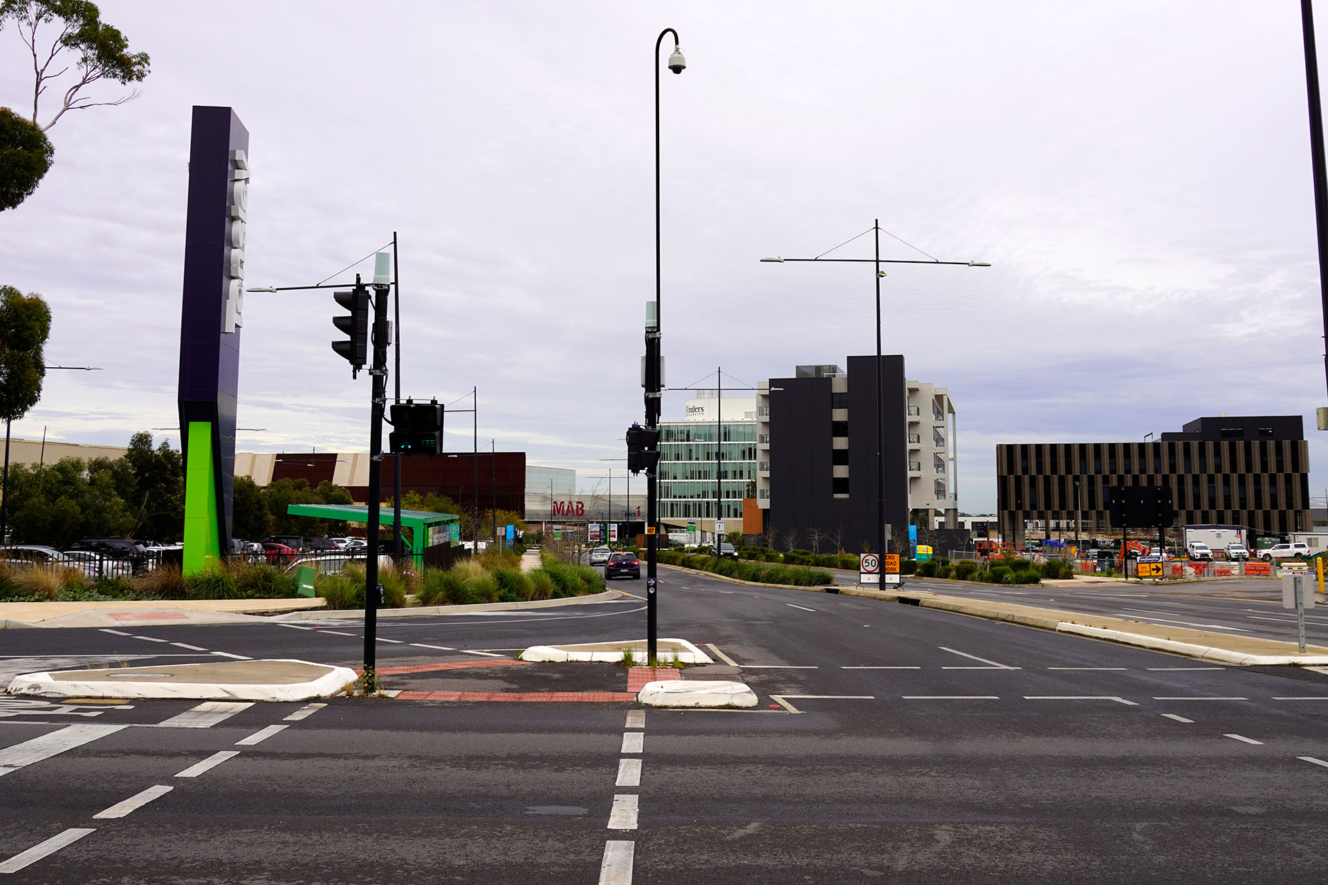
Photo: Tonsley Innovation District from intersection of Tonsley Boulvevard and South Road.
How the project relates to strategic planning
The State Government, across several key departments, sets out the direction for planning and infrastructure projects throughout the State. Similarly, Local Government prepares strategic plans and policies to guide the key areas of service and project delivery to achieve the desired outcomes for the local community.
The project has been assessed for its consistency with key State and Local Government strategic plans and policies. The completion of the NSC, through the delivery of the T2D Project, is consistent with existing policies as it strengthens Adelaide’s transport connections, facilitates the efficient movement of people and freight, and stimulates development opportunities and economic growth.
The key State and Local Government infrastructure planning and land use strategies and policies of relevance to the T2D Project are listed below.
Key State Government Strategies
- the 20-Year State Infrastructure Strategy (2020)
- the 30-Year Plan for Greater Adelaide – 2017 Update (2017)
- State Planning Policies for South Australia (2019)
- the Planning and Design Code.
Key Local Government Strategies
The T2D Project corridor is located within the Local Government Areas of the City of Charles Sturt, City of West Torrens, City of Unley, City of Mitcham and City of Marion. Each Council has developed its own set of strategic plans that guide the delivery of projects, services and infrastructure in the local area for their respective communities.
- Our Community Plan 2020-2027
- City of Charles Sturt Transport Plan 2016-2031.
- Community Plan 2030
- Open Space Plan 2021-2026
- Transport and Movement Strategy 2022-2032.
- City of Unley Community Plan 2033
- Unley Integrated Transport Strategy
- Walking and Cycling Plan 2022-2027
- The Living City: Open Space Strategy.
- Mitcham 2030
- Spatial Vision 2019.
- City of Marion Strategic Plan 2019-2029
- Transport Plan 2021-2026
- Open Space Framework 2018-2019.
Next steps
The Project Assessment Report (PAR) community consultation period concluded in April 2024. We thank you for your feedback.
The valuable information and local insights received during the consultation phase of the PAR are being considered by the project team and will inform the ongoing refinement of the T2D Project.