Traffic and transport
Transport systems should support the efficient movement of goods and people from one place to another in a safe and efficient manner. This can support trade and commerce, connect communities and provide safe and easy access to education, healthcare, employment opportunities, and other essential services.
As the final section of the North South Corridor (NSC), the T2D Project aims to improve travel times and reduce congestion by creating a 10.5km non-stop motorway linking the River Torrens and Darlington, decreasing crash rates and providing more opportunities for active transport. Completion of this final section will create 78km of non-stop, traffic light-free motorway between Gawler and Old Noarlunga.
Video: T2D Project will improve free-flowing traffic.
- Summary
Download a summary of the Traffic and transport impact assessment in PDF format
Approach
The traffic and transport assessment was informed by the assessment methodology. The traffic and transport assessment for the T2D Project was based on multiple technical investigations. These investigations have been prepared over several years as the project design evolved. For more information visit About the design.
The technical investigations most relevant to the traffic and transport assessment include:
- civil design aspects including stormwater, pavement, lighting and road furniture along and adjacent to the T2D Project
- traffic demand modelling and understanding future changes to traffic behaviour and volumes across the road network
- structural design aspects including bridges, underpasses, retaining walls and other structures of significance
- road traffic modelling based on Project Design and recommendations for network/intersection upgrades
- constructability advice from the T2D Project
- public transport passenger accessibility
- urban design and landscaping aspects including overpass structures, tunnels, portals and barriers and walls
- existing bus network and changes for the T2D Project, including a bus service plan showing alternative routing.
The traffic and transport assessment has been undertaken to understand performance impacts during construction and operation. The assessment methodology included the following tasks:
- review of relevant legislation, policies and guidelines at a national, state and local level
- establishment of the study area
- review of existing network conditions for all modes of travel through desktop analysis, site inspections, consultation with stakeholders and traffic surveys
- assessment of expected traffic and transport impacts during the project construction and operation (post-completion) using a range of traffic modelling assessments.
All assessments were completed in accordance with the criteria set by the Department’s Master Specifications (MS).
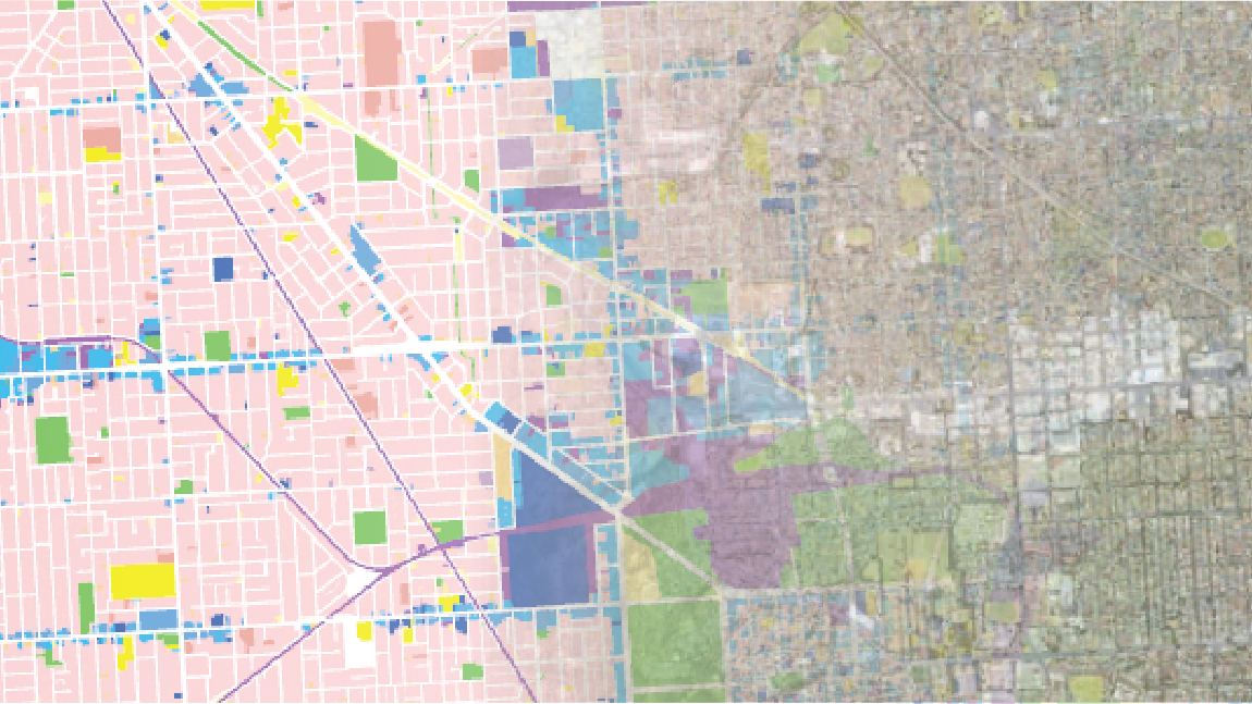
Assessment area
The following map outlines the traffic and transport assessment area which includes a buffer of approximately 400m either side of the T2D Project:
Map: Traffic and transport assessment area
Map disclaimer
Traffic and transport features
Each road has its own classification and functional needs based on factors such as purpose, capacity and importance. In South Australia, road hierarchy is classified using A Functional Hierarchy for South Australia’s Land Transport Network (2013) and South Road is identified as being a major traffic route and freight route with additional functions including:
- public transport – high frequency (Go Zone) and standard frequency corridor
- cycling – major cycling route
- pedestrian – safe access to the public transport corridor.
Overlapping functions do not mean one is more important than another, but rather the transport corridor needs to cater for multiple uses.
Arterial road network
The arterial road network in Adelaide is generally arranged in a grid structure. Additional diagonal arterial roads radiate out from the perimeter of the central business district (CBD) through the Park Lands into the more widely spaced grid of the Adelaide metropolitan area.
Adelaide is highly reliant on its arterial network, providing movement of private vehicles, public transport, freight, cyclists and pedestrians.
Henley Beach Road and Sir Donald Bradman Drive form two of the busiest intersections along South Road, creating significant delays along South Road but also key east-west routes intersecting South Road.
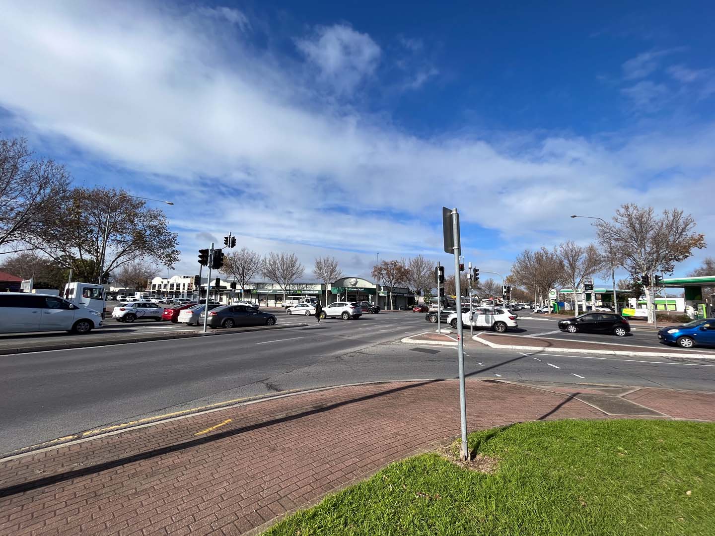
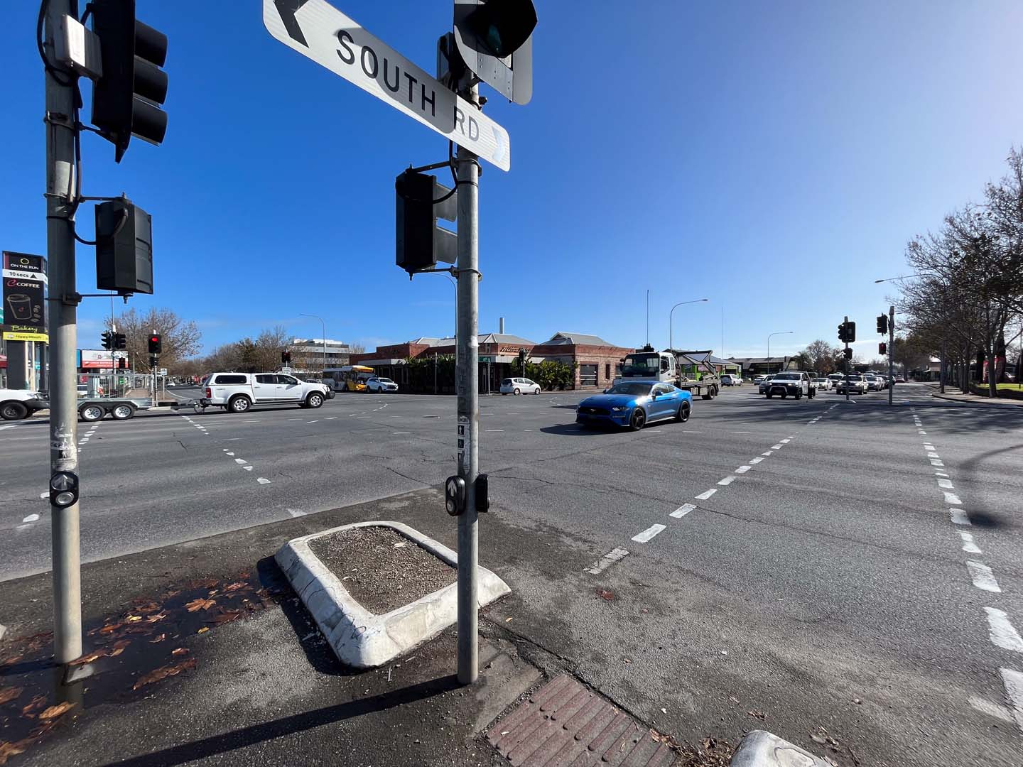
Photo: Henley Beach Road and Sir Donald Bradman Drive intersections.
Local road network
The local road network intersecting the project corridor mostly forms a grid-like pattern and links the arterial road network with surrounding communities. Most local roads within the corridor are under the care and control of the relevant councils, the City of Charles Sturt, City of West Torrens, City of Unley, City of Marion and the City of Mitcham.
The section of South Road within the project corridor has 53 local road intersections on the western side and 68 on the eastern side. Left turns to and from South Road are generally permitted however, of these 121 local road intersections, 62 currently allow for right turns to/from South Road. Some sections contain a central median with separate right-turn lanes to allow South Road traffic to turn into local streets.
Further, the Seaford passenger rail line creates an obstacle for accessibility to and from South Road and to a lesser degree the Glenelg Tram Line and unused tram line.
Freight network
South Road and the completed motorway sections of the NSC form part of the National Land Transport Network and feature in key State strategies. Close to 90% of land-based freight (by weight) travels by road in South Australia, which is approximately 20% more than the Australian average.
These large volumes of freight move through metropolitan Adelaide to major freight nodes including Port Adelaide, industrial centres, Adelaide Airport and other rail and road freight terminals.
South Road is also identified as a strategic freight route (from A Functional Hierarchy for South Australia’s Land Transport Network) for north-south travel through the western suburbs, with B-double vehicles permitted along its length. Intersecting and perpendicular arterial roads in the project corridor are also designated as major traffic and freight routes with some approved for B-double access.
The following map shows the freight network around the project corridor and the traffic and transport assessment area:
Map: Freight network around the project corridor
Map disclaimer
Public transport
The T2D Project corridor is intersected by tram, train and bus routes.
The following map shows the Go-Zone network around the project:
Map: Go-Zone network around the project
Map disclaimer
Bus
South Road is a major bus corridor primarily serving the southern suburbs, including express and limited-stops services. It is also a key link for city-bound bus routes from the west. There are approximately 30 bus stop pairs on South Road within the project area as shown below.
Bus stops are located near the intersections along on South Road, allowing users to transit between bus routes and/or access places on South Road. Some bus passengers must cross South Road to complete part of their journey to/from their destination. Crossing details are outlined in the Pedestrian and Cycling Network map below.
The T2D Project may alleviate the current issue of delays and unreliability associated with buses along South Road, encouraging car drivers to consider shifting to a more sustainable mode of transport such as buses, trains or public transport.
The following map shows the integrated public transport network around the project corridor:
Map: Integrated public transport network around the project corridor
Map disclaimer
Tram
The Glenelg tram line crosses over South Road, with Tram Stop 6 located on the overpass. Currently, pedestrians access Stop 6 via the stairs or lifts. The South Road Tram Overpass Upgrade will be undertaken to facilitate the construction of the T2D Project.
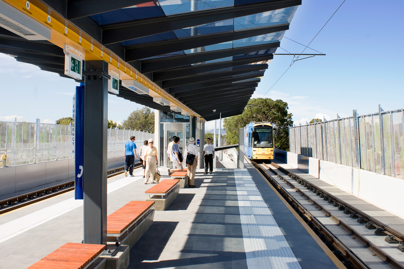
Photo: South Road Tram Overpass.
Train
The Seaford Rail line intersects with the existing South Road. As the rail runs at ground level (above the proposed tunnels), no changes or impacts are anticipated for the existing pedestrian access to the train line during construction or operation of the T2D Project. The project allows for any future development at this location.
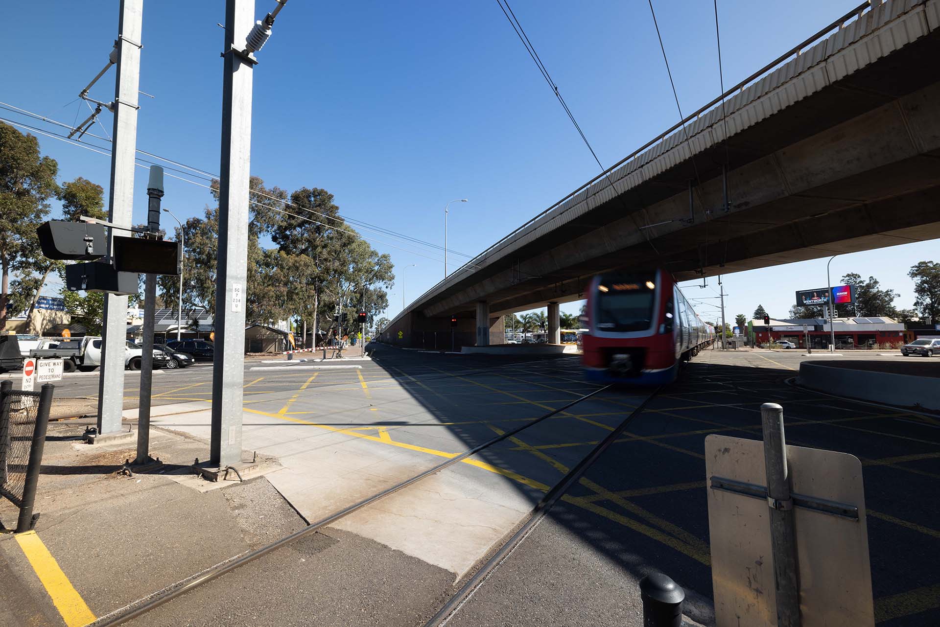
Photo: Seaford Rail line intersection with South Road.
Pedestrian and Cycling Network
South Road is identified as a major cycling route (from the Functional Hierarchy) with segments of cycling paths located alongside vehicle traffic. This presents safety issues for cyclists, particularly when traffic includes heavy vehicles. Desired outcomes for the T2D Project include provision of safe pedestrian access and space designated for cyclists, separated from moving traffic.
Currently, the four ways for pedestrians and cyclists to cross South Road are by:
- using traffic signals at intersections
- using pedestrian activated crossings or along road sections between intersections
- via median refuges
- the South Road Tram overpass using the Mike Turtur Bikeway.
Signalised pedestrian activated crossings are currently provided on South Road near:
- Bennett Street, south of Ashwin Parade serving the Brickworks and sporting facilities on the western side of the road
- John Street south of Richmond Road serving Richmond Primary School
- Pleasant Avenue south of Anzac Highway serving Black Forest Primary School
- Walsh Avenue south of Celtic Avenue serving St Bernadette’s Primary School.
The following map identifies signalised crossings for pedestrians and cycling routes, in relation to the traffic and transport assessment area:
Map: Crossings and cycling routes around the project corridor
Map disclaimer
Road crashes
Crash rates along South Road within the project corridor are frequent with 1,242 crashes recorded on South Road for the five years to 2019 between River Torrens and Darlington, with more than four crashes on average per week. Congestion impacts are worsened by more serious crashes due to the current narrow width of South Road and therefore impeding passing traffic in both directions.
The highest concentration and number of crashes between 2015-2019 occurred at signalised intersections, where there is increased exposure to conflicting movements and traffic flow is interrupted by traffic signal operations. The most common crash type at signalised intersections along the project corridor are rear-end crashes, attributed to the constant stop-start traffic flow and at-grade nature of the intersections along South Road.
The T2D Project is intended to provide a travel route with improved traffic flow and reduced exposure to conflicting movements when compared to the existing South Road. Crash rates are therefore expected to be reduced, as already experienced along the upgraded sections of the NSC including the Southern and Northern Expressways.
The following map shows historical crashes along the project corridor:
Map: Historical crashes along the project corridor
Map disclaimer
Road network performance
The assessment of a section of roads' ability to cater for a traffic flow considers both traffic demand and road layout. Accounting for traffic demand in both directions, approximately 23% of South Road is operating at or over capacity during the morning peak. During the evening peak, this value increases to around 25%. With increasing travel demand, congestion issues on the network can be expected to intensify with time.
By 2041, much of South Road between River Torrens and Darlington is expected to operate at or over capacity (34% during the evening peak), with additional roads providing parallel routes expected to become busier as traffic diverts away from the congested South Road. Furthermore, the ongoing congestion along South Road between River Torrens and Darlington is expected to have flow-on effects across the surrounding road network.
Impacts and mitigation measures
Analysis of traffic and transport performance informs the impact assessments undertaken for social and health aspects of the PAR. The traffic impact assessment also includes traffic focused mitigation measures and traffic performance design opportunities.
Construction and operational performance of traffic on the T2D Project has the potential to cause both negative and beneficial impacts. The construction phase of the project is when negative impacts are likely to be experienced while the operational phase is when the long-term beneficial impacts will be realised.
The key construction traffic and transport impacts identified are:
- road closures and network congestion
- increased heavy vehicle traffic
- potential bus service disruption
- potential pedestrian and cycling network disruptions.
The key operational traffic and transport impacts are predominately beneficial with some impacts, these include:
- improved travel times and reduced congestion
- opportunities to enhance active transport
- enhancing overall road safety
- loss of direct connectivity to South Road for some streets adjacent to the corridor.
Construction impacts
The key outcomes of the impact assessments regarding traffic and transport impacts and the mitigation measures to minimise their effects during construction are summarised in the table below.
Central to mitigating traffic and access issues will be the preparation of a Traffic Management Plan (TMP) which will be endorsed by an accredited road safety auditor. This TMP will apply to the entire project and will be the main mechanism through which impacts to traffic and transport are avoided or minimised in the construction phase of the project. There will be ongoing engagement with the community to notify them of potential traffic impacts and disruptions and to seek feedback.
Impact | Key Mitigation Measures |
|---|---|
Road network:
| The project will:
|
Public Transport:
| The project will develop a TMP which includes:
|
Pedestrian and cycling network:
| The project will develop a TMP which will:
|
See Broader network upgrades for further information on the various amenity, intersection and road upgrades to provide ongoing connectivity during construction and operation.
Operational Impacts
The key operational traffic and transport impacts of the T2D project summarised in the table below. The majority of impacts will have beneficial outcomes which do not require mitigation.
Impact Description | Mitigation Measures |
|---|---|
The T2D motorway will introduce changes to some access points along various road sections connecting onto South Road. Many of these changes will bring community benefits including:
| As the operational impacts of the project will be beneficial, mitigation measures are not required. |
Some changes to access locations may have some disadvantages including reduced connectivity, which may present added challenges for pedestrians, cyclists and vehicles to move from one area to another. | The project is and will continue to undertake:
|
Enhanced road safety:
| As the operational impacts of the project will be beneficial, mitigation measures are not required. |
During design, assessments have confirmed that the application of the Department’s Master Specifications (MS), with its links to relevant parts of the Environment and Heritage Technical Manual (EHTM) will mitigate the construction and operational traffic impacts.
These MS and EHTM requirements call for the project to develop and undertake further assessments and prepare reports that document necessary outcomes during construction and operation. These include:
- MS PC-SM1 – Traffic and Pedestrian Management
- Contractor’s Traffic Management Plan (TMP)
- Construction Noise and Vibration Management Framework (CNVMF).
To further enhance the operational benefits several design opportunities have been identified and are summarised in the table below. Community engagement will be ongoing to capture feedback from the community regarding the Project Design.
Design element | Design opportunity |
|---|---|
Public transport | Existing connection between bus services should be maintained and enhanced as part of wider improvements on South Road. Provision of additional express services on South Road to complement existing intersecting bus services and mass transit modes such as tram and rail. |
Intersection upgrades | Other bus infrastructure upgrades may include:
|
Pedestrian movements | Detailed study of pedestrian movements through intersections to further optimise design development. |
Cycling provisions and accessibility | An Integrated Transport Assessment (ITA) will be required prior to delivery to better understand the impacts on the cycling network during construction and operation. For more information about cycling impact, refer to Social. |
Further information about supporting works including intersection, road, and amenity upgrades see Broader network upgrades.
Next steps
The Project Assessment Report (PAR) community consultation period concluded in April 2024. We thank you for your feedback.
The valuable information and local insights received during the consultation phase of the PAR are being considered by the project team and will inform the ongoing refinement of the T2D Project.